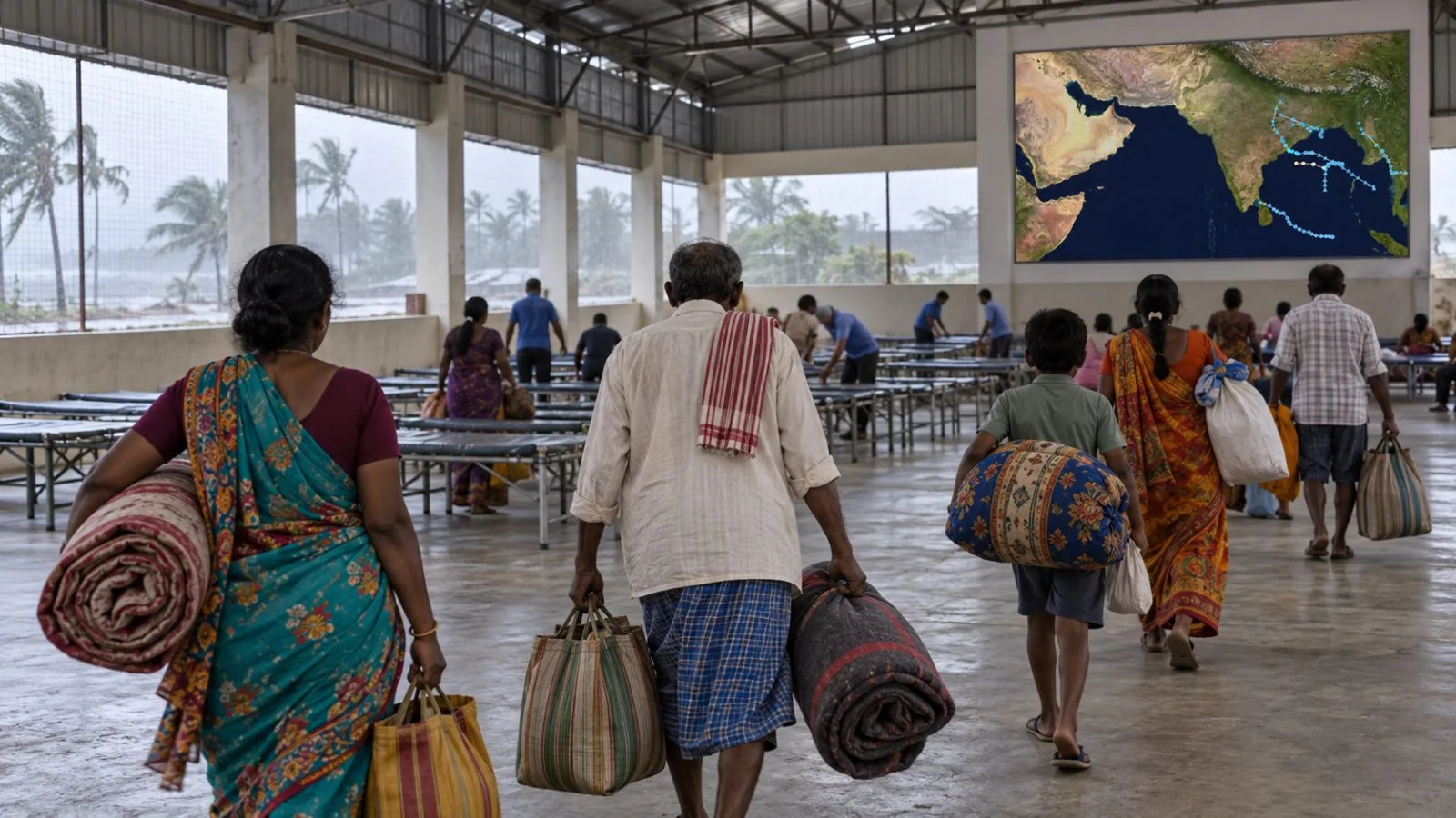
The India Meteorological Department (IMD) forecast Cyclone Murasu to cross south Andhra Pradesh late Monday into early Tuesday, with winds of up to 110 km/h and a storm surge risk for coastal districts.
The projected crossing window is 1 p.m. to 5:30 p.m. ET Monday (18:00–22:30 UTC), equivalent to 11:30 p.m. Monday through 4 a.m. Tuesday in India. The forecast corridor follows the coast between Nellore and Narsapur, near Ongole. IMD expects sustained winds of 100–110 km/h, with gusts reaching 120 km/h.
At 10 a.m. ET (15:00 UTC) Monday, the storm’s center was about 60 kilometers east of Kavali and 90 kilometers southeast of Ongole, over the west-central Bay of Bengal, the IMD said. Murasu had traveled north-northwest at 12 km/h in the preceding six hours.
The IMD warned that a surge exceeding 0.5 meters above the astronomical tide could flood low-lying parts of south Andhra Pradesh. The agency projected the highest surge, at 1.0–1.5 meters above the astronomical tide, in Bapatla, Krishna and Prakasam districts.
The IMD bulletin issued Monday at 1:10 p.m. ET (18:10 UTC) gave a forecast window and did not report a completed landfall. EconoTimes previously covered flight cancellations as Murasu approached.