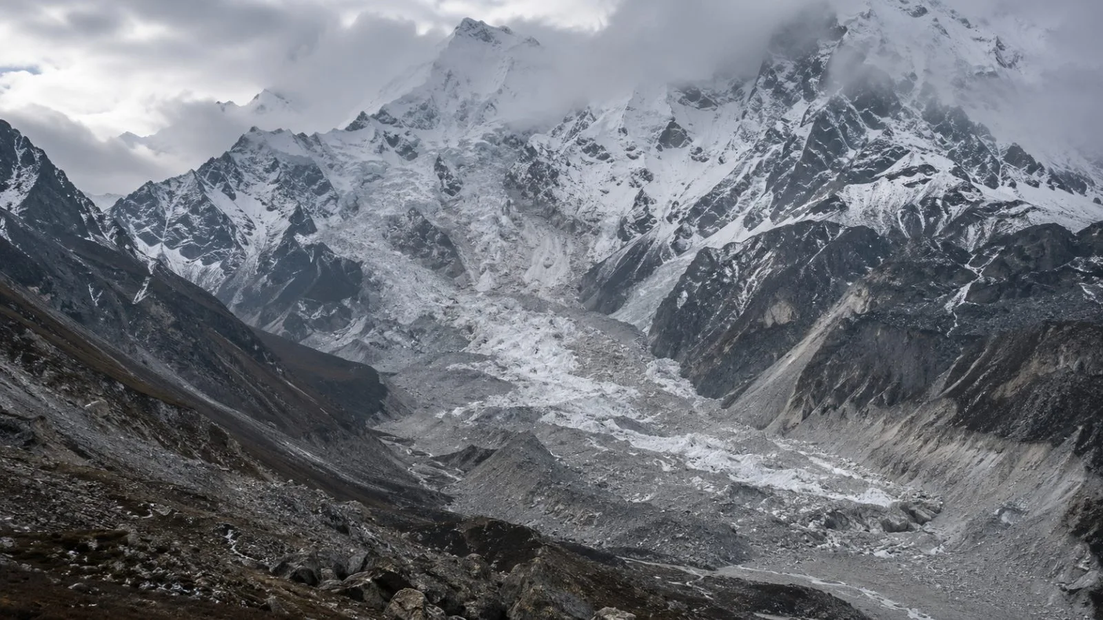
A study of NASA-ISRO Synthetic Aperture Radar (NISAR) data found slope movement before Nepal’s August rock-and-ice avalanche, offering evidence of precursors but not showing whether readings were reviewed before the collapse. The paper appeared online Oct. 16 in the Journal of the Indian Society of Remote Sensing.
The authors detected unusually high movement in a mountainside north of Langtang Lirung. A separate analysis of four observation intervals from June 20 to Aug. 19, 2026, also identified movement in the area that later failed. The study reports these pre-event measurements but does not say whether they were reviewed in real time.
The paper places the failure at roughly 5,130 meters above sea level and estimates that about 99 million cubic meters of rock and ice moved, with an uncertainty of ±10 million cubic meters. The debris flow damaged buildings, roads, tunnels and bridges along the Trishuli River system, according to the researchers.
The timing is contested. The study assigns the failure to Aug. 26. The International Centre for Integrated Mountain Development (ICIMOD) says a separate analysis points to a failure the day before and suggests the Aug. 26 signal may instead mark a later dam breach. ICIMOD describes the event as a cascading cryospheric geohazard, distinct from a conventional glacial lake outburst flood, and says the sequence remains under investigation. Its preliminary assessment also points to gaps in monitoring, early warning and cross-border information exchange.
The Indian Space Research Organisation says NISAR returns to the same areas on a 12-day cycle, while NASA says the mission’s data are freely available. The study also found that summer 2026 was unusually warm against its 2001-2025 climatology; it presents warmth as one part of a broader causal chain, not as the sole cause.
The World Bank estimates direct damage to physical assets at $1.66 billion, with infrastructure accounting for 83%.