The U.S. Naval Research Laboratory (NRL) says aircraft crews have finished an initial INSPYRE deployment, gathering wildfire-smoke observations for forecast research and Navy reviews of aviation and visibility risks.
The National Aeronautics and Space Administration (NASA) funded the Injected Smoke and Pyrocumulonimbus Experiment, which studies how intense fires create storm-like systems that push smoke high into the atmosphere. NRL said the effort included a three-day pursuit of a plume originating in Siberia.
NASA’s ER-2 aircraft surveyed active fire systems from above, while a Gulfstream V operated by the National Science Foundation and the National Center for Atmospheric Research (NSF/NCAR) sampled smoke within plumes. During the Siberian plume work, the ER-2 descended to about 38,000 feet to join the Gulfstream V. A ground team set up mobile radar and lidar near active fires. NRL said both aircraft logged more than 100 flight hours.
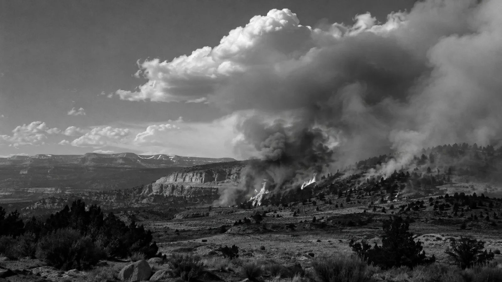
At Utah’s Widemouth 2 fire, NRL reported smoke carried to about 36,000 feet inside a cloud. The cloud did not meet the research team’s working definition of a pyrocumulonimbus, a thunderstorm-like formation produced by an intense fire.
Direct sampling addresses gaps in satellite observations. NRL says satellite images do not show all plume properties, including particle sizes or how particles absorb and reflect sunlight; researchers have had to estimate those characteristics in models. By comparing samples taken inside smoke with observations from aircraft, ground instruments and satellites, scientists aim to improve atmospheric models and forecasts.
Fire-generated storm clouds can loft smoke and also create lightning, strong winds and downdrafts that pose hazards for firefighting and aviation, according to NASA and NSF/NCAR. NRL has compared clouds that send smoke into the stratosphere with volcanic eruptions, which can also inject material high into the atmosphere.
NRL added funding for extra ER-2 flight hours to collect information relevant to Navy assessments of smoke effects on visibility, aviation and optical systems. NASA supplied the mission’s primary funding and aircraft; NSF and NCAR enabled Gulfstream V access, while the National Oceanic and Atmospheric Administration (NOAA) supported forecasting research and an atmospheric profiling instrument.
NASA’s campaign record shows that Level-1B data processing is underway. NSF/NCAR says a follow-up field deployment is scheduled for 2027, with three years of analysis and publication work planned afterward.