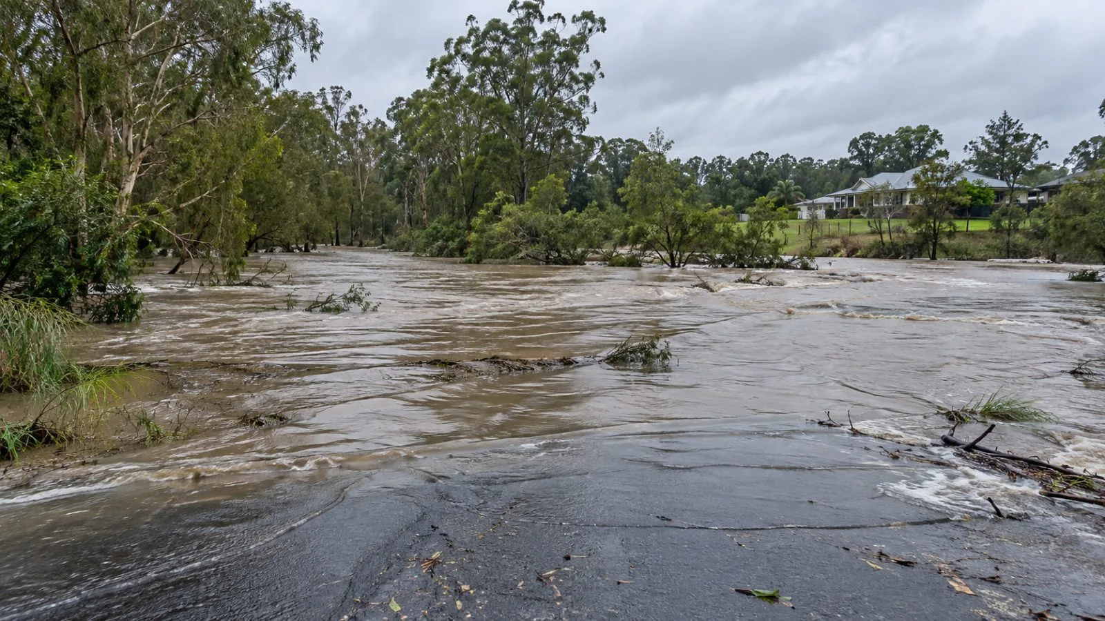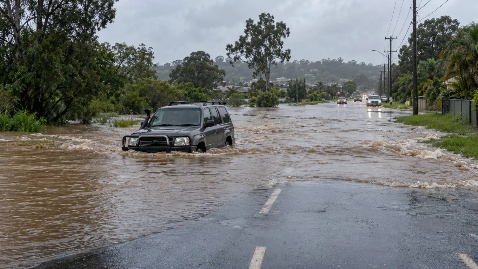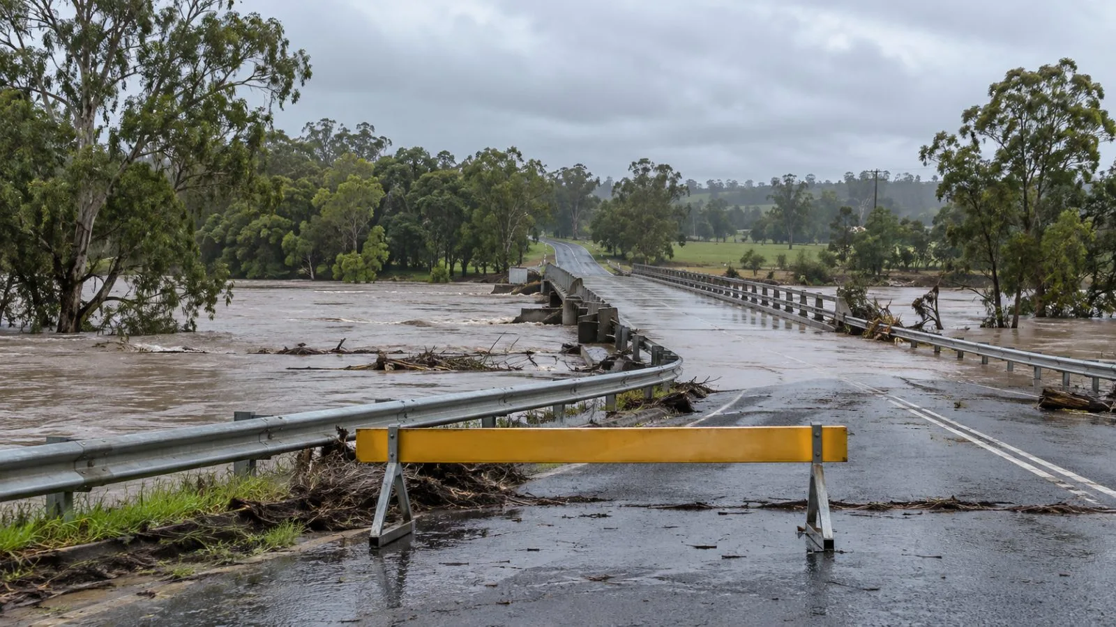
Australia’s Bureau of Meteorology forecast severe thunderstorms across four eastern jurisdictions Sunday, Oct. 25, as flooding closed two Queensland bridges and raised the risk of major flooding at Tiaro.
The forecast covered western New South Wales (NSW), the Australian Capital Territory, eastern Victoria and southern Queensland. Large hail, damaging winds and heavy rain were possible. In northeastern Victoria, southern NSW and the northwest slopes and plains, stronger storms could produce gusts above 125 km/h.
BoM said a storm line was progressing through western NSW and reached into northeastern Victoria after bringing damaging winds. Across Queensland’s Wide Bay and Burnett region, many gauges recorded 100–200 mm of rain from Saturday into Sunday. The agency warned major flooding could develop at Tiaro on the Mary River from Sunday into Monday.
Fraser Coast Regional Council reported that flooding had closed Mungar Road Bridge at Tiaro and Emerys Bridge at Gundiah. The council expected Lamington Bridge in Maryborough to close Sunday as river levels rose.
The rain had mixed effects on Queensland agriculture, BoM said: wetter soil supported summer planting, while broadacre crops and Lockyer Valley horticulture sustained damage. The agency linked the wider weather pattern to a cold front that brought tropical moisture and rain across South Australia, Victoria and Tasmania after a blocking pattern shaped the previous week. The flooding follows earlier EconoTimes coverage of Queensland’s flood risk.
For Monday, Oct. 26, BoM forecast another severe-storm risk in northeastern NSW and southeastern Queensland, including the Northern Rivers, Toowoomba and Ipswich. It warned storms could damage trees, property and crops and cause local power outages.