Australia's Bureau of Meteorology (BoM) forecast severe-thunderstorm risk across Victoria, New South Wales and the Australian Capital Territory Saturday, shifting into New South Wales and southeastern Queensland Sunday, with saturated soils raising flood concerns.
The BoM update, current at 8 p.m. ET Friday (00:00 UTC Saturday), placed the main Saturday risk in Melbourne, parts of Gippsland, the northeastern ranges and north-central Victoria. In Melbourne, the main window was expected during the first half of Saturday afternoon AEDT (early Saturday UTC), with storms potentially moving east and north from about 1 a.m. ET Saturday (4 p.m. AEDT). The bureau also anticipated mid- to late-afternoon storms inland and possible evening activity near the east coast.
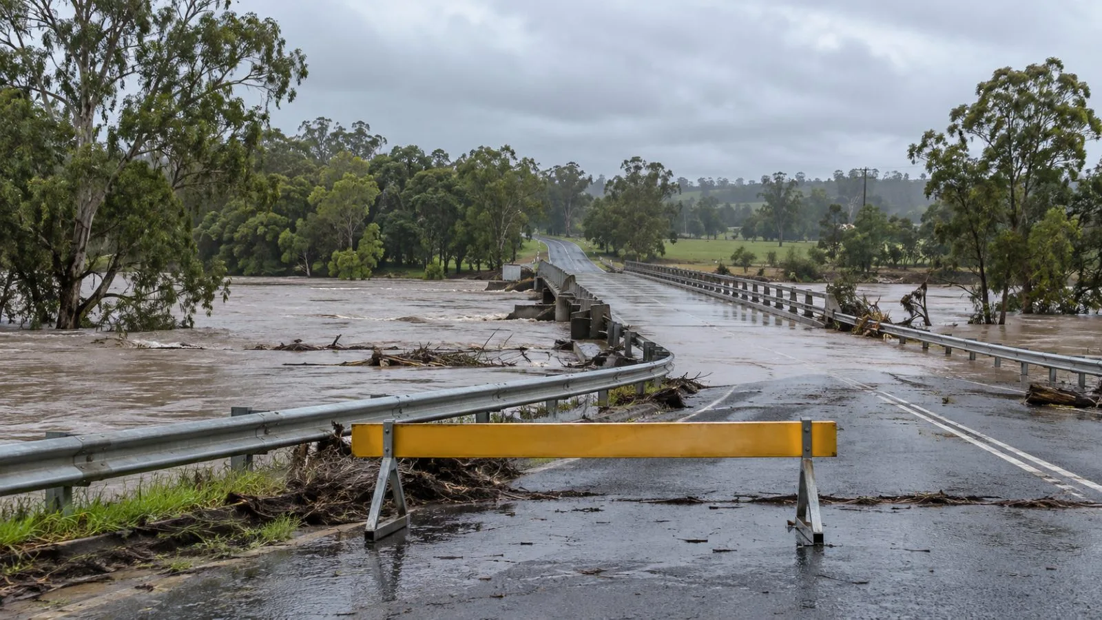
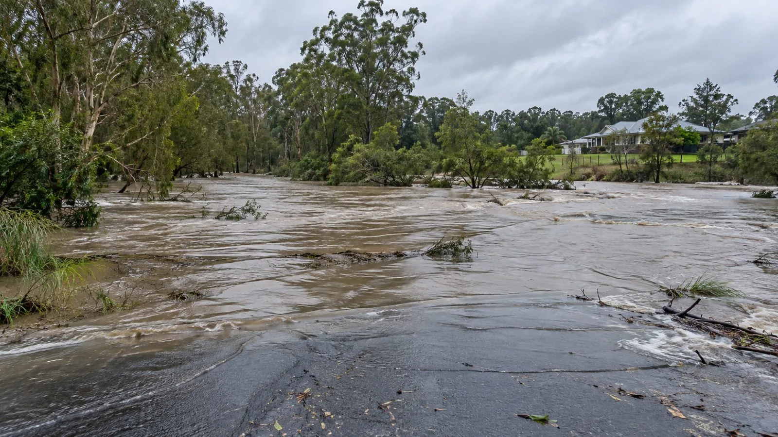
The Saturday risk also covered inland New South Wales, southern Queensland's interior and areas around Wollongong and the Illawarra. Storms could bring large hail, heavy rain and damaging winds, including in parts of the Australian Capital Territory and Canberra. The BoM said soil saturated after a very wet fortnight may have less capacity to absorb additional rain, increasing the chance of flash flooding. It also warned that damaging gusts could topple trees or harm property.
For Sunday, Nov. 1, the risk area stretched from Newcastle to about Gympie, Queensland. Severe storms were most likely in parts of the New South Wales Mid North Coast, Northern Rivers, tablelands and Hunter region. Destructive winds above 125 km/h were possible in that area, alongside hail, heavy rain and flash flooding.
At the time of the update, a severe weather warning for damaging winds covered the mountains of northern Victoria and southern New South Wales. The bureau said gusts above 100 km/h had been recorded there that morning. It urged people to keep checking radar and watch for severe thunderstorm warnings over the weekend.
The BoM also forecast a possible low-pressure system forming near Adelaide late Sunday and moving east Monday toward the Victoria-New South Wales border. The system could bring another wet and stormy period.