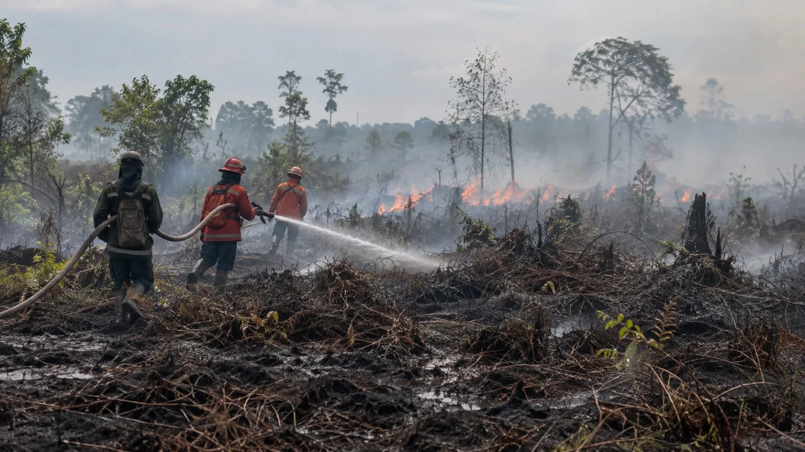
Nusantara Atlas estimated 1.9 million hectares burned nationwide through September, while a Monday Al Jazeera video relayed critics’ questions about the government’s response as fires and haze worsened in Central Kalimantan.
Nusantara Atlas’s January-to-September burned-area estimate totaled 1,916,588 hectares, 38% above its figure for the same months in 2019. Both totals come from the satellite monitor.
Nusantara Atlas founder David Gaveau told AFP Monday that the latest figure likely understates the area burned. The monitor excludes burn scars smaller than 6.25 hectares, and heavy haze can obscure satellite images. Its current series cannot provide a comparable burned-area figure for 2015 because the satellites it uses were unavailable then.
Singapore’s National Environment Agency (NEA) said smoke from Kalimantan fires had drifted toward Singapore. Its 24-hour Pollutant Standards Index reading ranged from 88 to 114 at 6 a.m. ET Monday, compared with 159 to 222 at 8 a.m. ET on Oct. 16.
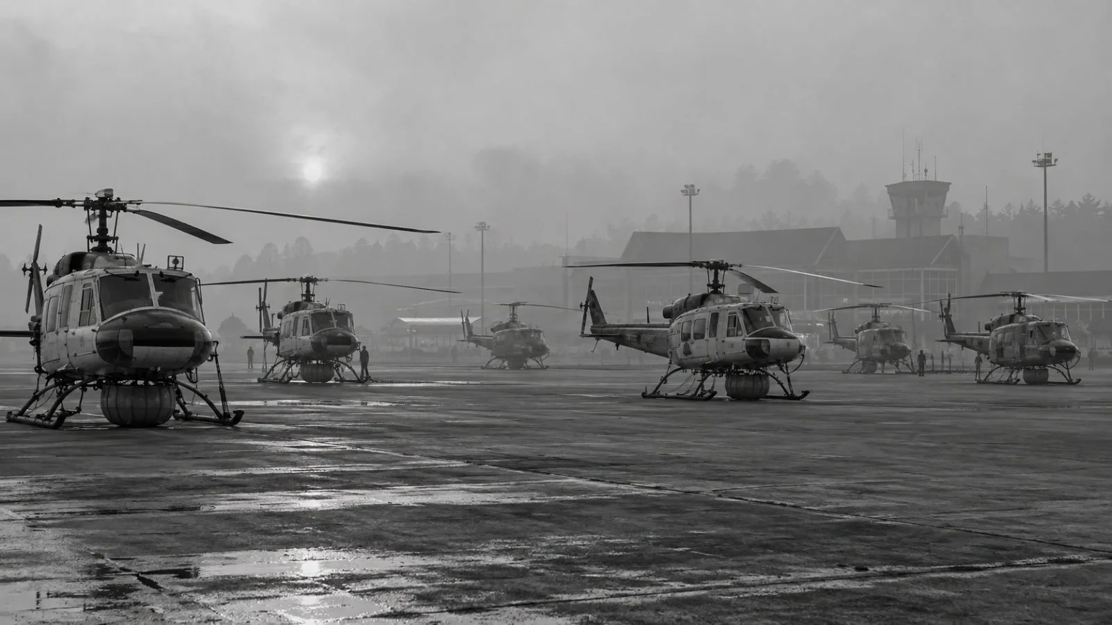
Indonesian crews continued fighting fires in Sumatra and Kalimantan. Anwar said Sunday Malaysia was prepared to assist Indonesia and proposed closer coordination through the Association of Southeast Asian Nations (ASEAN); he also cited Indonesia’s mobilization of aerial resources and tens of thousands of personnel.
The ASEAN Specialised Meteorological Centre says it issues haze updates twice daily while its Level 3 alert, the highest for the southern ASEAN region, remains active.