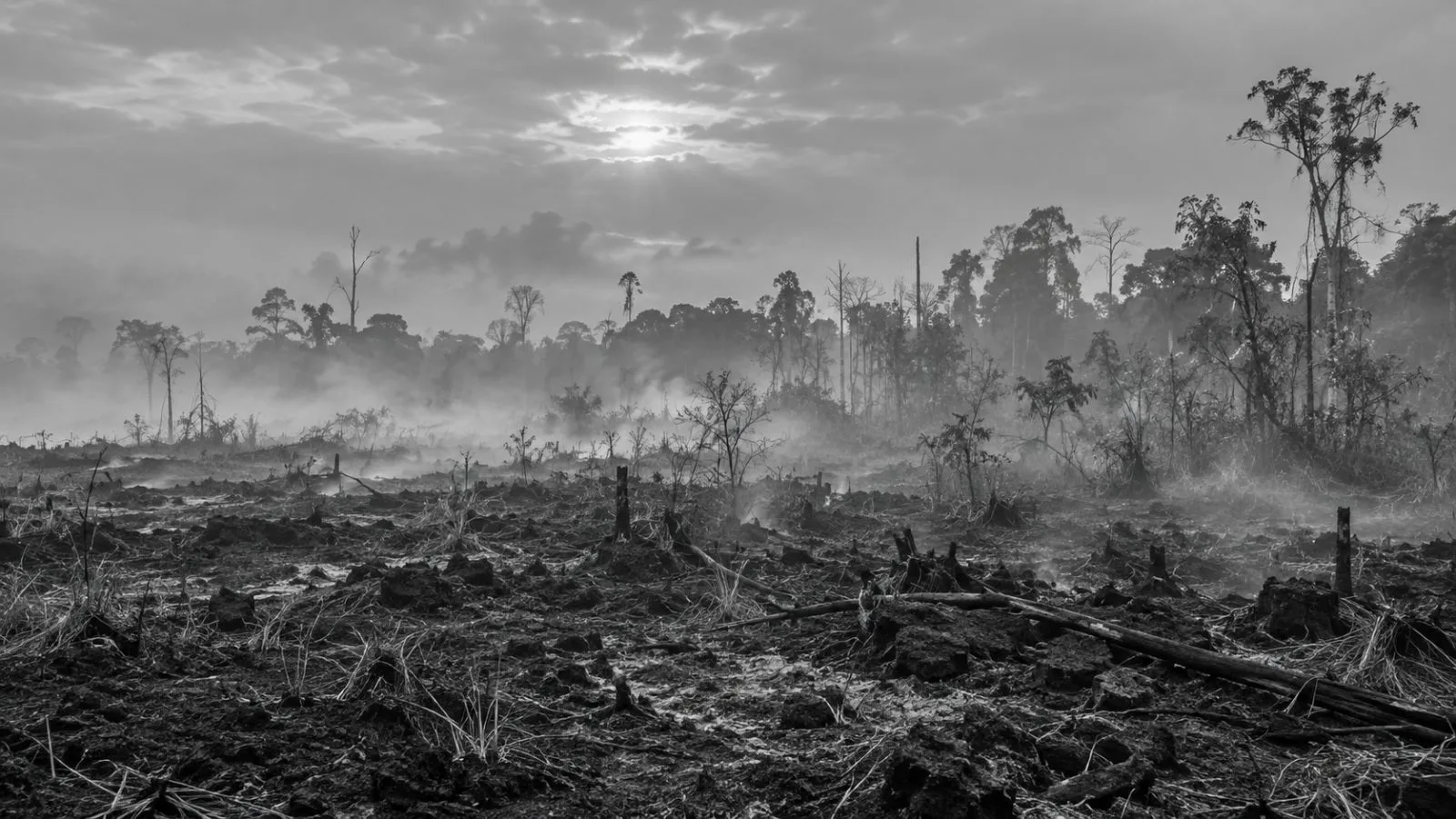
Fires in Indonesia burned an estimated 1.9 million hectares through September, Nusantara Atlas said, as smoke reached neighboring countries and prompted the southern ASEAN region's highest haze alert.
The satellite monitor measured 1,916,588 hectares burned from January through September, 38% above its reading for the same period in 2019. The comparison uses Nusantara Atlas estimates for both years.
The ASEAN Specialised Meteorological Centre activated Level 3, its highest alert, for the southern ASEAN region. The center has identified prolonged dry conditions and haze crossing national borders.
The Indonesian Forestry Ministry reported about 202,000 hectares burned through July. Its figure covers two fewer months than the atlas estimate and was produced using a different method. The gap between the totals therefore cannot be treated as the area burned in August and September.
Nusantara Atlas founder David Gaveau told AFP on Oct. 19 that the monitor's total likely understates the affected area. It omits individual burn scars smaller than 6.25 hectares and prioritizes avoiding false detections, he said. Heavy haze has also obscured some satellite images.
The 2019 comparison does not establish how this season measures against Indonesia's severe 2015 fires. The satellites used in the atlas's current series were unavailable then, leaving no comparable burned-area estimate for that year.
Gaveau told AFP that hotspot detections were still rising. The ASEAN center says it issues haze updates twice daily while Level 3 remains active.