NASA’s Sentinel-6B has completed calibration and is expected to become the reference satellite used to calibrate sea-level data from other missions in January, giving them a shared benchmark.
NASA’s Jet Propulsion Laboratory said Sentinel-6B finished calibration by Oct. 30, 2026, and passed its initial system checks. The handover is planned for January, but JPL has not named a specific day. Sentinel-6 Michael Freilich currently provides the reference measurements other sea-level missions use to calibrate their data. After the transition, the older satellite is expected to move into an accompanying orbit, JPL said.
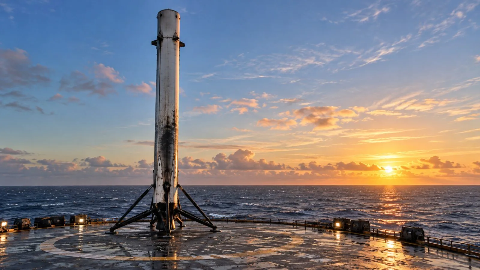
NASA’s Photojournal posted an artist’s concept of Sentinel-6B on Nov. 16, 2026, one year after the spacecraft’s launch. The illustration is not a photograph of the satellite in orbit. Sentinel-6B launched aboard a SpaceX Falcon 9 from Vandenberg Space Force Base on Nov. 16, 2025. It now flies 830 miles (1,336 kilometers) above Earth, about 30 seconds behind its twin, NASA reported.
Radar instruments send pulses toward the ocean and use the returning signal to calculate the surface’s height. The spacecraft also measure wave size and winds over the sea. NASA says Sentinel-6B is designed to measure sea levels down to roughly an inch across about 90% of the world’s oceans. JPL says measurements from the two satellites together can help with hurricane forecasts, infrastructure protection and commercial activity such as shipping.
Sentinel-6B and Sentinel-6 Michael Freilich make up the Copernicus Sentinel-6/Jason-CS mission. NASA describes it as the latest phase in a series of satellite radar-altimetry missions that has monitored changing seas since the early 1990s.