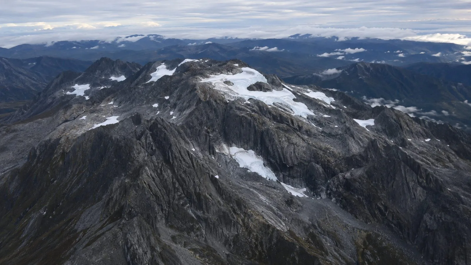
NASA Earth Observatory reported that a comparison of Landsat images shows Puncak Jaya’s ice now split into separate patches, documenting retreat at an unusual near-equatorial site. NASA says the remaining ice no longer moves as a glacier.
The comparison pairs a Landsat 5 image from Nov. 3, 1988, with a Landsat 9 image from Oct. 19, 2026. The newer image shows exposed rock where ice covered ridges in the earlier frame, but NASA has not published a 2026 area estimate. The agency said an aerial survey planned for December should measure the ice remaining this year.
NASA Earth Observatory attributed a September 2025 estimate of 0.09 square kilometers to Donaldi Permana, a climate scientist at Indonesia’s Meteorology, Climatology, and Geophysics Agency (BMKG). The figure compares with 4.31 square kilometers in 1988, leaving about 2% of the earlier area.
Estimates for 2024 differ. BMKG’s climate bulletin put the area at 0.11 to 0.16 square kilometers. A 2025 study in The Cryosphere estimated 0.165 ± 0.008 square kilometers, while a 2026 study in Cold Regions Science and Technology put it at 0.19 square kilometers. The studies used different imagery and mapping methods.
The projected disappearance dates also vary. BMKG’s bulletin gave 2026 as a conditional estimate, assuming the average annual loss of about 0.07 square kilometers recorded from 2016 to 2022 continued. The 2025 study placed disappearance around 2030 if its measured retreat rate persists. The 2026 study projected that East Northwall Firn could disappear in 2028 or 2029 and Carstensz Glacier in 2029 or 2030.
NASA, citing Permana, reported that ice at East Northwall Firn’s main monitoring site measured 32 meters thick in 2010 and 4 meters in 2023, then disappeared from that site by November 2024. That measurement describes the monitoring location, not all the ice on Puncak Jaya.
NASA links the retreat to exposed rock, where snowfall is less able to accumulate, and higher freezing levels that shift more precipitation from snow to rain. Chris Shuman, a retired University of Maryland glaciologist, called the process “a house of cards problem,” NASA Earth Observatory reported.
NASA reported that thinning reached about 5.3 meters in one year during the 2015–2016 El Niño, around five times the usual rate. During the 2023–2024 event, thinning was about 2 to 4 meters per year. Permana believes the current El Niño could hasten the loss, but the National Oceanic and Atmospheric Administration’s Climate Prediction Center has not quantified its effect on Puncak Jaya. On Nov. 12, the center said a strong-to-very-strong event was likely through January–March 2027, with a probability above 79%. Its next ENSO diagnostic discussion is scheduled for Dec. 10.