NASA said its CASALS laser instrument collected three-dimensional surface data suitable for scientific research in aircraft tests, advancing a system designed to measure terrain and forests between earlier satellite ground tracks.
Earlier spaceborne lidars measured surface height at individual or overlapping spots along a ground track, leaving gaps between tracks. CASALS scans a swath across its direction of travel. NASA researchers say the broader coverage could help them build more complete records of vegetation and ground elevation.
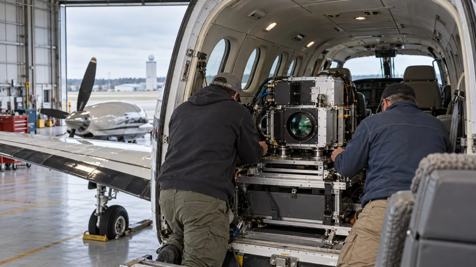
The prototype completed four flights aboard a NASA B-200 King Air in November 2024. In an Oct. 21 announcement, NASA reported 22-centimeter horizontal resolution at an altitude of about five kilometers. An abstract by the research team put resolution at roughly 21 centimeters across a 55-meter-wide swath during the aircraft campaign. Both figures describe airborne results, rather than performance from orbit.
Developed at NASA’s Goddard Space Flight Center with support from its Earth Science Technology Office, CASALS changes among 256 laser wavelengths. A transmission grating directs the pulses at different angles across the flight path. NASA says that approach reduces the size, weight and power needed by eliminating motorized steering mirrors.
A NASA technical abstract identifies forest structure as a potential subject for the continuous height measurements. NASA’s airborne-science account says fuller observations could also help researchers examine forest growth and ice-sheet mass loss. Those uses depend on further development of an instrument intended for space; the resolution reported so far was measured from an aircraft.
NASA has described machine learning as part of CASALS’ intended operation, while the research-team abstract says related algorithms remain in development. The aircraft results therefore do not establish how that capability would work in orbit.
The team plans another CASALS flight for summer 2027 as part of ASCENT, the Airborne Surface, Cryosphere, Ecosystem, and Nearshore Topography campaign. Before building a space prototype, the team plans to broaden the scanning swath and add software to process data on board.