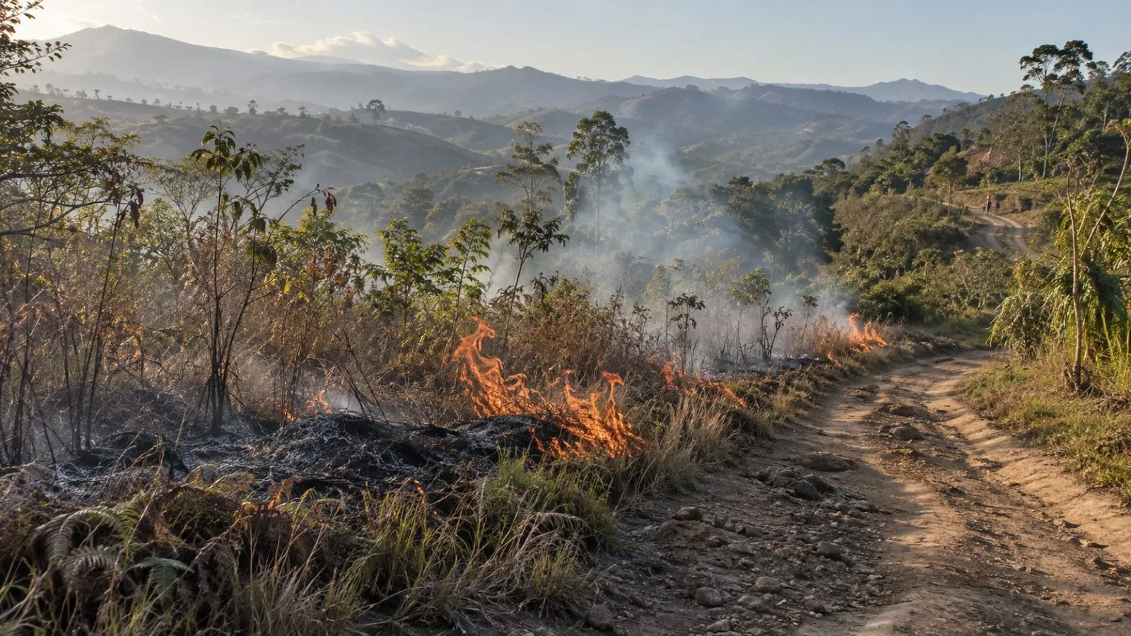
GFED estimates cited by NASA Earth Observatory put fire emissions from Papua New Guinea’s half of New Guinea at a year-to-date record by Oct. 19, as unusually dry conditions raised the risk of fires spreading.
NASA’s report also cited GFED estimates of more than 35 megatons of carbon for the Indonesian side, the database’s third-highest total after 2015 and 1997. The report did not give a cutoff date for that Indonesian-side figure.
GFED’s numbers are modeled estimates, not direct measurements of carbon released. For data from 2023 onward, the database uses active-fire detections from the Visible Infrared Imaging Radiometer Suite (VIIRS) to estimate burned area and emissions. Its accounting spans all fire categories.
Researchers cited by NASA say people ignite most fires in New Guinea. Reported purposes include clearing land, hunting, tending crops and managing grazing areas; exceptionally dry weather can carry fires beyond intended areas. Indonesia’s Meteorology, Climatology, and Geophysical Agency (BMKG) called El Niño very strong in an Oct. 13 update, reporting a three-month index of +3.08 for August through October.
NASA Earth Observatory also reported flight delays and cancellations, school closures and advice for children and older people to wear masks in some areas.
Papua New Guinea’s Fire Service recorded 236 grass and bushfires nationwide from July through September 2026, FM100 reported Oct. 16, citing Chief Fire Officer Bill Roo. Roo said water shortages and rationing made the fires harder to contain, while crews sometimes faced several incidents at once.
Heavy wet-season rain usually reaches southern New Guinea in early November. Researchers cited by NASA expect the fires to persist until that seasonal shift arrives.