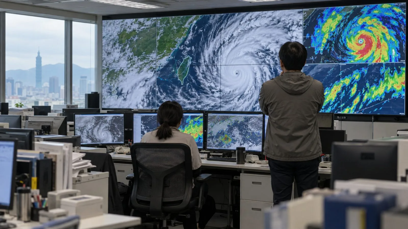
Taiwan’s Central Weather Administration (CWA) expects Typhoon Champi’s wind and rain to affect the island most on Friday and Saturday, when northern areas and the eastern counties of Yilan and Hualien could face heavy rainfall.
Rain is forecast across Taiwan on both days, with heavy or extremely heavy rainfall possible in those northern and eastern areas, CWA forecaster Chao Hung said.
At 8 p.m. ET Monday (00:00 UTC Tuesday), CWA data placed Champi 1,680 kilometers east-southeast of Eluanbi, on Taiwan’s southern tip. The CWA reported maximum sustained winds of 198 kph and gusts of 245 kph. Chao said the typhoon could reach peak strength Tuesday or Wednesday before weakening as it approaches Taiwan.
Champi is forecast to turn north Thursday and move farther from the island by Sunday or Monday. Chao said rain would then be concentrated from Taoyuan northward and in eastern Taiwan.
The warning decisions depend on Champi’s track. Chao said the CWA could issue a sea warning Wednesday ET, corresponding to late Wednesday night or Thursday morning in Taiwan. A land warning could follow Thursday morning ET, or Thursday night in Taiwan.