A 2016 U.S. Geological Survey (USGS) model found that 94.19% of habitat it rated suitable for the endangered Southwestern willow flycatcher in 2010 was unsuitable by 2015 along the lower Virgin River. That measure compares two maps; it does not count nests or occupied sites.
The USGS report gives a separate measure for the total modeled area: it fell 90.7%, from 937 hectares to 87 hectares. In the spatial comparison, 5.81% of the habitat mapped in 2010 remained suitable in 2015, while 3.53% of new suitable area was recorded.
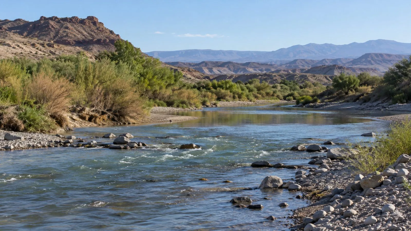
The analysis covered a 65-kilometer stretch of the river in Nevada and Arizona. Predicted habitat averaged 700.3 hectares a year from 1986 to 2012. For 2013 to 2015, the annual average was 88 hectares, or 12.6% of the earlier average.
USGS says tamarisk leaf beetles were released at 10 sites in six states in 2001 to control invasive tamarisk. Beetles were observed along the lower Virgin River in 2008. The report’s modeled timeline showed effects from 2011, with the largest habitat declines between 2013 and 2015.
The control effort involved a tradeoff for the bird. A USGS news release says beetles can remove tamarisk leaves during nesting, exposing young birds to higher temperatures and predators. A later USGS report says tamarisk also serves as primary nesting habitat in some places where native riverside plants are absent. That report says formal release sites were selected to avoid flycatcher critical habitat, while unregulated introductions in Utah were followed by beetle establishment near St. George and spread downstream.
The model was checked against field records: of 758 territories documented in 2014, 88% fell in areas the model identified as suitable using a 40% probability cutoff. The report says the maps do not establish which habitat patches birds occupy in a given year. It identified linking habitat predictions to observed patch use as a next research step.