Different Pacific temperature baselines are producing sharply different historical assessments of the current El Niño, with Japan ranking it above 1997 while U.S. forecasters await a separate three-month test.
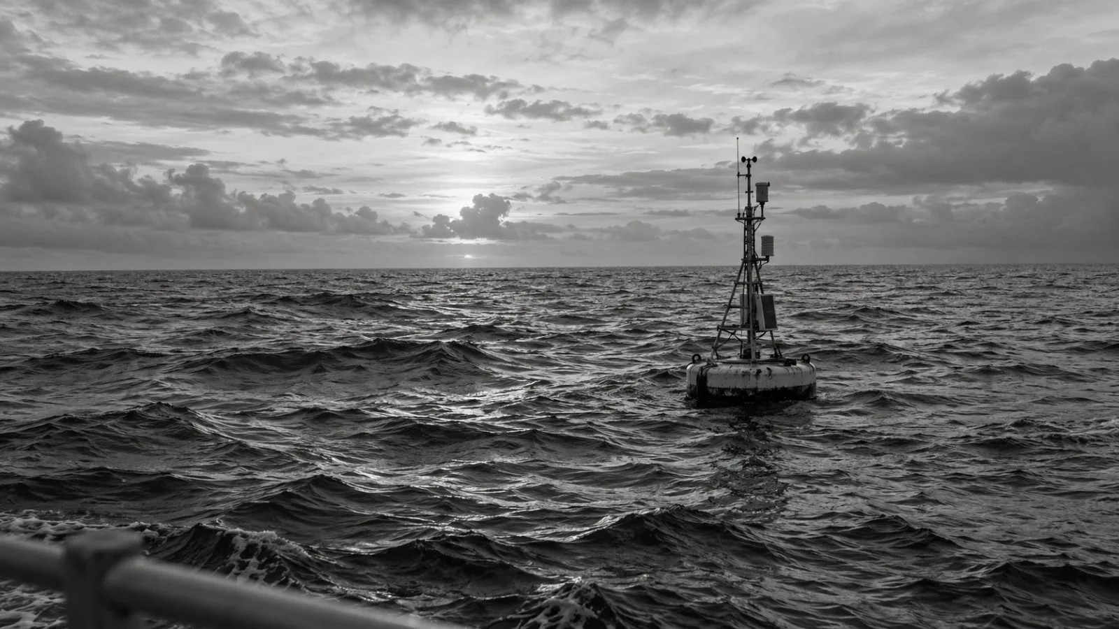
The Japan Meteorological Agency (JMA) said last week that the current event is the strongest in its Nino3 observations, after sea-surface temperatures in the eastern Pacific region rose farther above normal than during the 1997 El Niño. JMA’s observations there date to 1949.
The United Kingdom’s Met Office used a different yardstick. In a statement to AFP, it said absolute sea-surface temperatures in the central equatorial Pacific had exceeded levels measured during earlier El Niños, prompting its description of the event as “unprecedented.”
The National Oceanic and Atmospheric Administration (NOAA) monitors the neighboring Nino3.4 region in the east-central Pacific. Its definition of El Niño combines temperatures at least 0.5°C above normal with signs of an atmospheric response, such as weakening trade winds or tropical rainfall moving east.
The rankings also reflect different ways of defining normal. NOAA and the World Meteorological Organization (WMO) long used the Oceanic Niño Index (ONI), which measures temperature anomalies against a 30-year reference period refreshed every five years. NOAA now uses the Relative Oceanic Niño Index (RONI), and WMO is moving to it. RONI also uses a 30-year average but compares the east-central Pacific with the wider tropical ocean.
In its Oct. 8 outlook, NOAA put the chance at 83% that the three-month average RONI anomaly for October through December 2026 will reach 2.5°C or higher. That threshold would place the event above NOAA’s records dating to 1950, including the El Niños of 1982-83, 1997-98 and 2015-16. The probability is a forecast of reaching the threshold, not a finding that it has already been reached.
El Niño is part of the El Niño-Southern Oscillation (ENSO), a natural climate pattern that occurs every two to seven years on average and usually lasts nine to 12 months. Weaker trade winds allow warm water to shift east, changing where ocean heat enters the atmosphere; weather effects vary by region, with some places becoming wetter and cooler and others hotter and drier.
Emily Becker, a climate scientist at the University of Miami, told AFP that scientists will need to wait until the event ends to determine its place in the historical record. She described it as “very strong.” NOAA’s next ENSO Diagnostic Discussion is scheduled for Nov. 12.