The World Meteorological Organization expects the 2026–27 El Niño to strengthen toward a very strong peak near the end of 2026 and persist through February 2027, extending risks of disrupted rainfall, drought, floods and extreme heat worldwide.
WMO said the event was firmly established by mid-August 2026. Forecasts based on consensus from 13 national and international forecasting centers put the probability of persistence through February at nearly 100%.
“El Niño will peak towards the end of 2026 but its impacts will be felt long after that,” WMO Secretary-General Celeste Saulo said.
El Niño usually lasts nine to 12 months, though some episodes continue for up to 18 months. The pattern generally develops between March and June, peaks between November and February, and returns every two to seven years as unusually warm surface waters build in the central and eastern tropical Pacific.
WMO’s November 2026–January 2027 outlook projects tropical Pacific sea-surface temperatures up to 3.8°C above average. WMO defines El Niño as a sea-surface-temperature anomaly of at least 0.5°C.
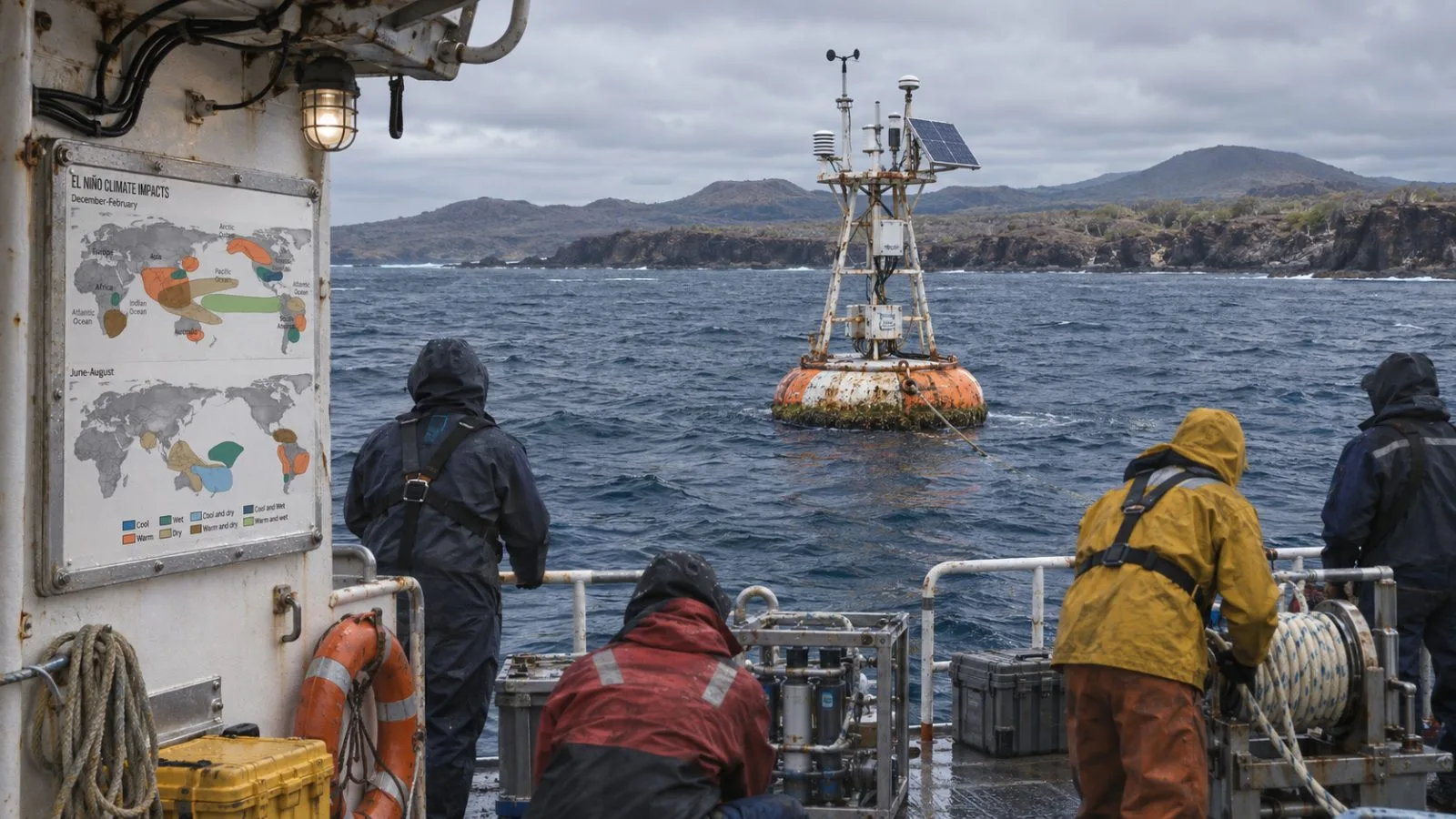
Ocean observations show the event’s intensity. Copernicus reported that average September 2026 sea-surface temperatures across oceans between 60°S and 60°N reached 21.05°C, the highest September value in its record. The Niño 3.4 region averaged 29.70°C, above previous peaks recorded during very strong El Niño events.
Europe’s winter outlook is more conditional. The U.K. Met Office said a sudden stratospheric warming event has disrupted the polar vortex, a development that can increase the chance of cold conditions. The surface response depends on the jet stream and other atmospheric patterns, so a colder winter across Europe remains possible rather than established.
Saulo said El Niño “changes the odds; it does not determine the weather in every city or cause every heatwave.” Copernicus ranked 2025 as the third-warmest year on record. EconoTimes previously covered WMO’s assessment of rising 2026–27 El Niño risks.