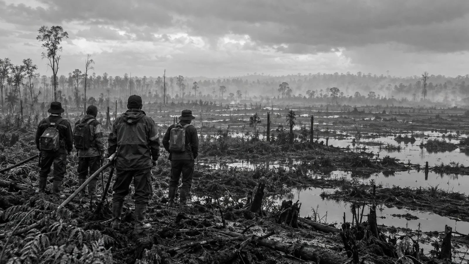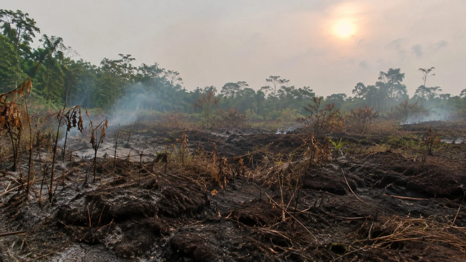
Indonesia’s 2026 fires have burned 2.88 million hectares through October, Nusantara Atlas estimates, putting the season above the satellite monitor’s previous annual high as smoke carries the effects beyond the country’s borders.
The monitor’s end-October estimate is roughly 18 times London’s area. Nusantara Atlas’ tally has risen by nearly 1 million hectares since its September update, which put fires at 1.9 million hectares for January through September. The new figure continues the trend covered in EconoTimes’ earlier report on the 1.9 million-hectare estimate.
The total is above Nusantara Atlas’ previous full-year high, recorded in 2019. Indonesia’s severe 2015 fires cannot be measured directly against the current season because the satellite imagery used for that year was different.
Nusantara Atlas founder David Gaveau told AFP on Nov. 11 that haze had blocked satellites from seeing some areas already burned, so the current tally may be an undercount. AFP reported that the estimate could grow as fires continue and satellites spot scars that smoke had concealed.
Rain has eased some of the strongest blazes, and monitoring shows hot-spot numbers beginning to level off or decline. Still, the trend in hot spots has not ruled out further growth in the burned-area estimate, which may include land scorched in active fires and areas detected only after visibility improves.
AFP reported that intense drought associated with a strong El Nino partly explains the fires’ severity. The pollution has sickened hundreds of thousands of people in Indonesia, AFP reported, and haze has reached Malaysia and Singapore.
Indonesia’s government last reported 202,000 hectares burned through July. That figure covers a shorter period and uses a different method from Nusantara Atlas’ estimate, so the gap between them does not show how much burned in August and September. Forestry Ministry spokesman Ristianto Pribadi told AFP officials were still checking updated figures and could not confirm when they would announce them.