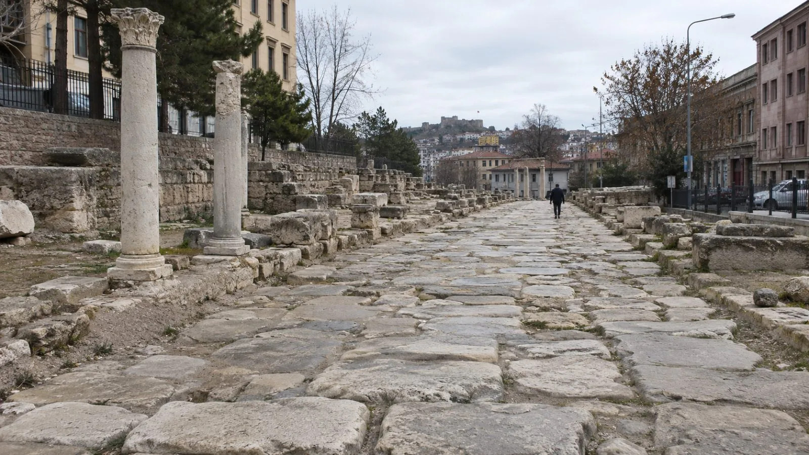
A study of 299,171 kilometers of Roman roads found that Byzantium and Ancyra were better placed than Rome to connect overland routes, pointing to multiple hubs in the empire’s land network.
Published Sept. 15 in Nature Communications, the study assessed cities by their road connections, access to other places and role in linking routes. Antioch and Corinth also ranked ahead of Rome in the researchers’ measure of overland connections.
Provincial capitals often held central positions in regional networks. The pattern suggests provincial-scale organization, but the study could not determine whether geography or deliberate Roman planning produced it. The study identified topography and military requirements near frontiers as factors shaping the network.
The analysis found a moderate correlation between Roman roads and modern roads. It examined land routes rather than the empire’s full transport system: Rome’s Mediterranean location also made it important for waterborne travel. The authors called for future research combining road data with navigable rivers and sea routes.