Researchers studying buried walls at Buto, Egypt, used satellite radar and ground-based measurements to date a mudbrick structure to the Saite period, while leaving its purpose unresolved. A paper published March 10, 2026, in Acta Geophysica reports the findings from Kom C, an archaeological area in the northwestern Nile Delta.
The team processed Sentinel-1 imagery captured May 5, 2018. It showed an oval radar anomaly measuring 128 by 62 meters, but the researchers caution that this is not a confirmed outline of the building: the satellite’s viewing direction made some sides more visible than others. Electrical resistivity tomography and borehole data led them to estimate the structure at about 25 by 20 meters.
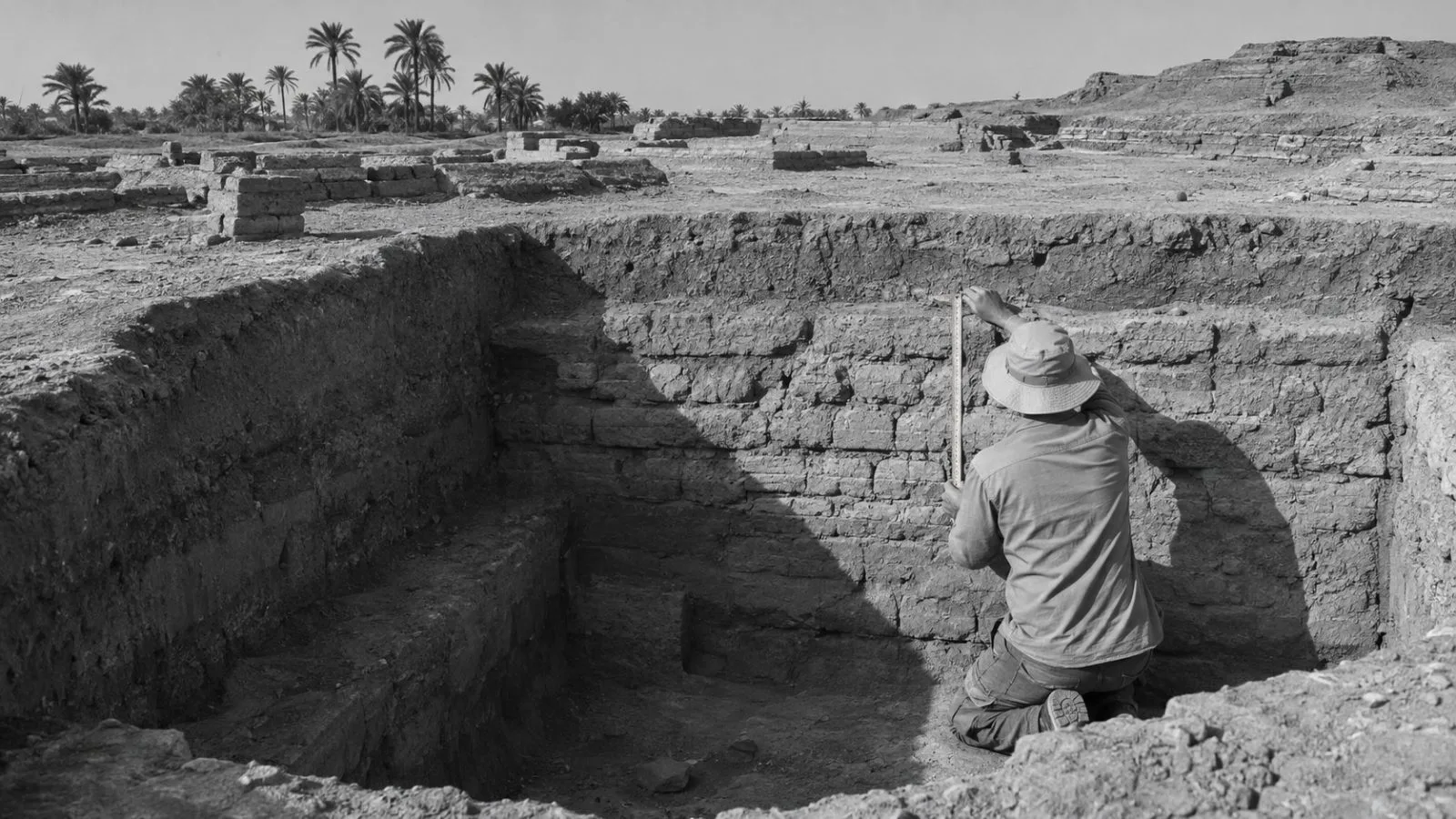
The study dates the walls to the Saite period, also known as the 26th Dynasty, which it places in the seventh and sixth centuries BCE. An excavation divided into four squares covered a 10-by-10-meter area and exposed mudbrick walls 3.1 to 4.1 meters underground. Finds included an offering basin, religious amulets and a scarab inscribed with King Thutmose III’s name.
Researchers interpret the artifacts as pointing to religious use, but they offer several possibilities for the building: a secondary temple, a religious service complex, a priestly residence or a funerary structure. The study describes Buto’s archaeological record as extending from the Predynastic period into the Early Islamic era.
Resistivity measurements also indicated a high-resistivity layer 6 to 7 meters below the surface. The authors interpret it as artificial foundation or ground-leveling material. Earlier borehole data located natural sand at about 14 meters; the researchers cite that comparison in arguing that the shallower layer may have been placed to prepare the clay-rich ground for construction.
The study does not identify a single function for the structure. Its authors recommend further resistivity work using electrodes spaced farther apart to probe deeper deposits at Buto.