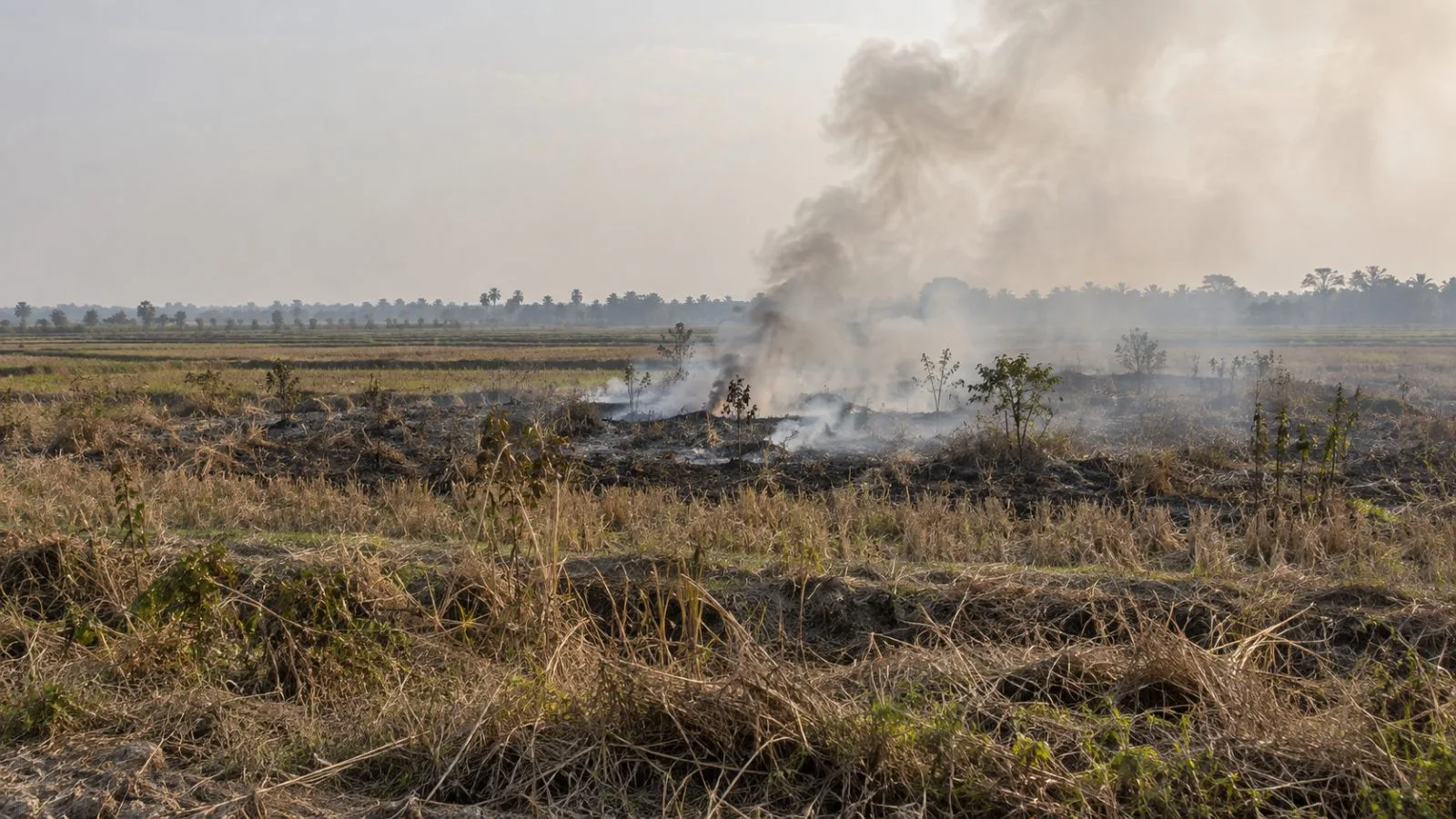
Indonesia’s Meteorology, Climatology and Geophysical Agency (BMKG) counted 66 high-confidence hotspots in South Sumatra on Oct. 19, up from 19 a day earlier, as reports detailed effects on livelihoods and health.
In interviews published by The Straits Times, farmer Nita Herman of Ogan Ilir estimated her rice harvest at about two tonnes, compared with 3.5 tonnes in 2025. The paper said dry weather prompted her to harvest early. “Every year, we suffer,” Herman said.
Restaurant owner Ponco Pramono told The Straits Times that sales at his Palembang restaurant, Mie Celor 26, fell 20% in September and were down 40% in October through his Oct. 15 interview. Vegetable seller Marlini Suwandi said the loss of customers since mid-October had cut her daily sales roughly in half.
September brought South Sumatra’s highest reported monthly acute respiratory illness caseload of 2026, with 52,483 cases, according to The Straits Times, Bisnis.com and detikSumbagsel, citing the provincial health agency.
Indonesia’s Forestry Ministry said its SiPongi+ system recorded 202,004.30 hectares of fire-affected land nationwide from January through July, 69% more than in the same period of 2025. The system estimates affected area using Landsat 8 imagery, hotspot data, field checks and firefighting reports.
BMKG linked the broader fire risk to very strong El Niño conditions and a positive Indian Ocean Dipole, which it said were reducing cloud cover and rainfall and leaving vegetation more vulnerable. Its Oct. 20 outlook forecast low-to-medium rainfall across much of Indonesia through the second 10-day period of November. The agency also detected smoke across parts of Sumatra, Kalimantan, Sulawesi, Maluku and Papua.
South Sumatra’s provincial government said Oct. 21 that about 12,000 personnel had been sent to fire-prone areas and five helicopters were being used for water bombing. It also reported opening free health posts and distributing masks.
BMKG said agencies began dry-ice seeding in Sumatra and Kalimantan on Oct. 20 to disrupt an atmospheric inversion that can trap smoke near the ground. The agency said visibility and PM2.5 readings would help assess the operation, with further monitoring needed to judge its effects.