A preliminary analysis by the National Oceanic and Atmospheric Administration (NOAA) placed Hurricane Polo’s 95-knot wind-speed gain over a 24-hour period third in its eastern Pacific comparison, underscoring the storm’s rapid September intensification.
Only two hurricanes had higher 24-hour increases in the preliminary comparison: Patricia gained 105 knots in 2015, and Otis gained 100 knots in 2023.
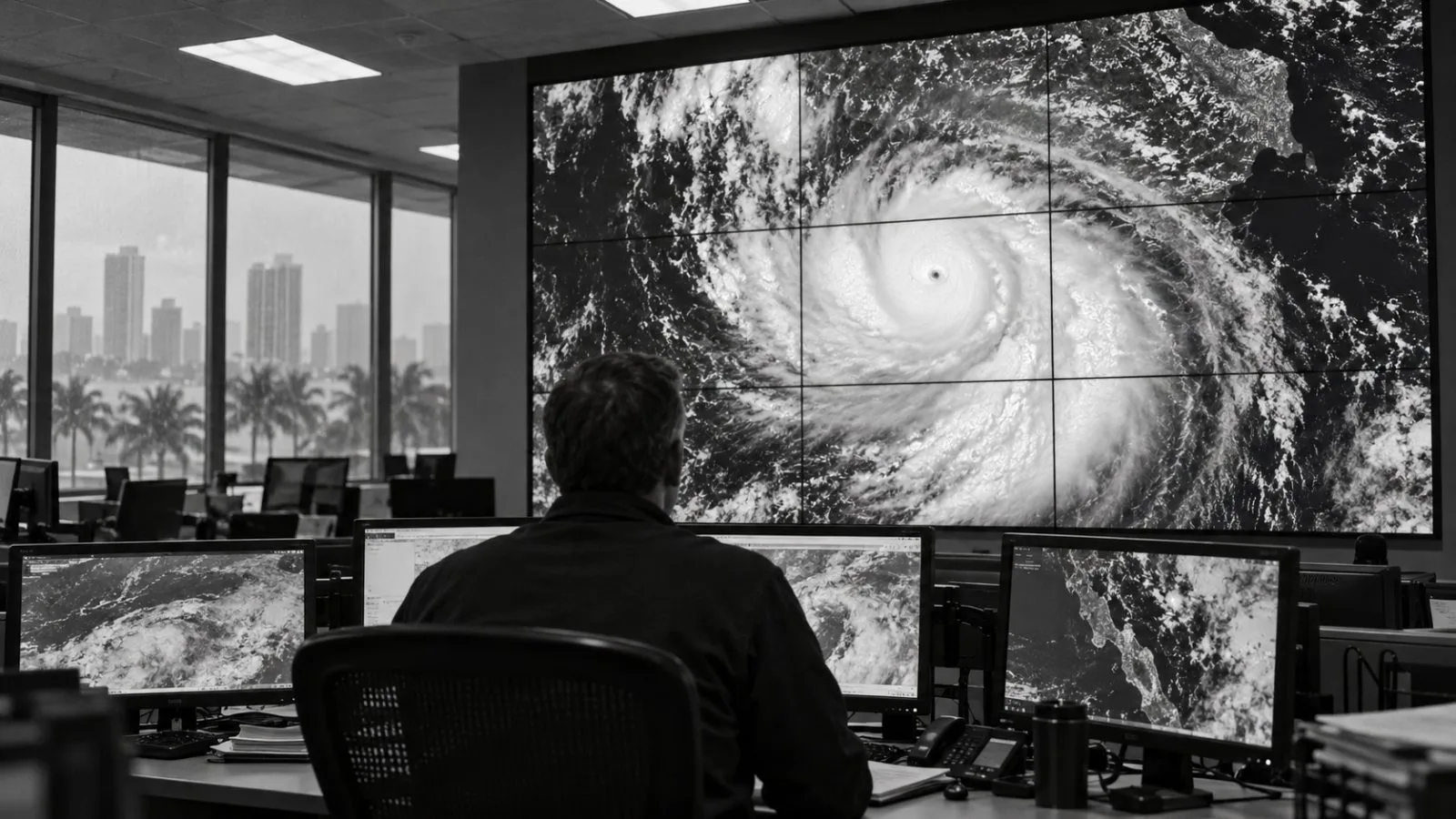
The National Hurricane Center (NHC) listed Polo as a tropical storm with maximum sustained winds of 55 knots at 11 a.m. ET (1500 UTC) Sept. 21. The NHC’s 8 a.m. ET (1200 UTC) Sept. 22 advisory placed the storm in Category 5, with sustained winds of 160 mph (260 km/h), about 21 hours later. In a discussion released at 5 a.m. ET (0900 UTC) Sept. 22, the center estimated that winds had climbed about 90 knots over the preceding day; NOAA’s later preliminary analysis gave a 95-knot increase.
An analysis released Oct. 15 by World Weather Attribution (WWA) and Climate Central compared how human-caused warming and El Niño influenced potential intensity, an estimate of the wind strength the surrounding ocean and atmosphere could support. The researchers found warming had a greater effect on those conditions than El Niño, but did not divide Polo’s observed wind gain between the two influences.
WWA estimated that the September 2026 conditions were about 23 times more likely and five meters per second stronger because of warming, compared with a climate without human influence. For El Niño, it estimated the conditions were about 14 times more likely and 4.2 meters per second stronger than under neutral conditions during July through September. A separate method estimated warming increased Polo’s actual peak wind speed by about 2.7 meters per second; WWA’s summary gave no comparable El Niño estimate for actual peak winds.
Researchers said they could not quantify climate change’s role in Polo’s rainfall because their climate models did not reproduce observed trends and often underestimated extreme rainfall in the region. Observation-based estimates suggested similar events had become about six times more likely and 57% wetter, but WWA said those estimates carried very large uncertainties.