A joint study published Thursday, Oct. 15, found human-caused warming increased the likelihood of conditions capable of supporting Hurricane Polo’s peak strength, while the researchers could not determine its effect on the storm’s rainfall.
World Weather Attribution (WWA) and Climate Central prepared the report. WWA calculated that September 2026 conditions supportive of high potential intensity were about 23 times as likely in a climate affected by human-caused warming as in one without that influence. In a separate comparison, it estimated that the current July-to-September El Niño made those conditions roughly 14 times as likely as during ENSO-neutral conditions. The estimates use different baselines.
Potential intensity is a calculation using sea-surface heat, air temperature and humidity to indicate the wind strength a storm’s environment could sustain. WWA estimated that warming raised this measure by about five meters per second and El Niño by about 4.2 meters per second. A separate method attributed about 2.7 meters per second of Polo’s actual peak wind speed to human-caused climate change. The waters Polo crossed before reaching peak strength were about 1.4 degrees Celsius hotter than in a preindustrial climate; WWA estimated that temperatures were about 200 times as likely in the region.
A preliminary analysis by the National Centers for Environmental Information (NCEI), part of the National Oceanic and Atmospheric Administration, recorded a 95-knot increase in Polo’s winds over 24 hours, the third-fastest in the eastern Pacific record. Central pressure fell 88 millibars during that period, the second-fastest decline in the preliminary analysis.
WWA said the evidence did not let it estimate how much climate change altered Polo’s rainfall. Its analysis of historical records suggested comparable extreme rainfall had become about six times more likely and 57% wetter, but the estimates carry very large uncertainties. The report also said climate models do not reproduce the rainfall trend found in observations.
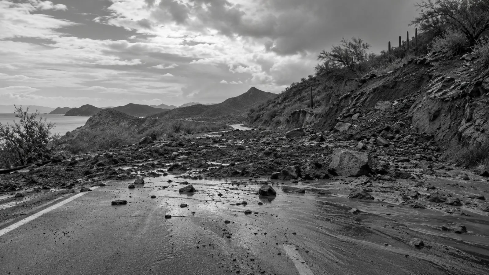
National Hurricane Center records place Polo’s Sept. 28 landfall in a sparsely populated part of Baja California Sur as a Category 2 hurricane. It had weakened to Category 1 by its Sept. 29 landfall east of Guaymas. WWA said flooding, property damage and landslides that blocked roads affected Baja California Sur and Sonora. It credited evacuations, shelters and preparedness with limiting losses, alongside the storm’s weakening and the low population exposure at its first landfall.
WWA cited the estimated $16 billion in damage from Hurricane Otis’s 2023 strike on Acapulco to show why landfall location matters.