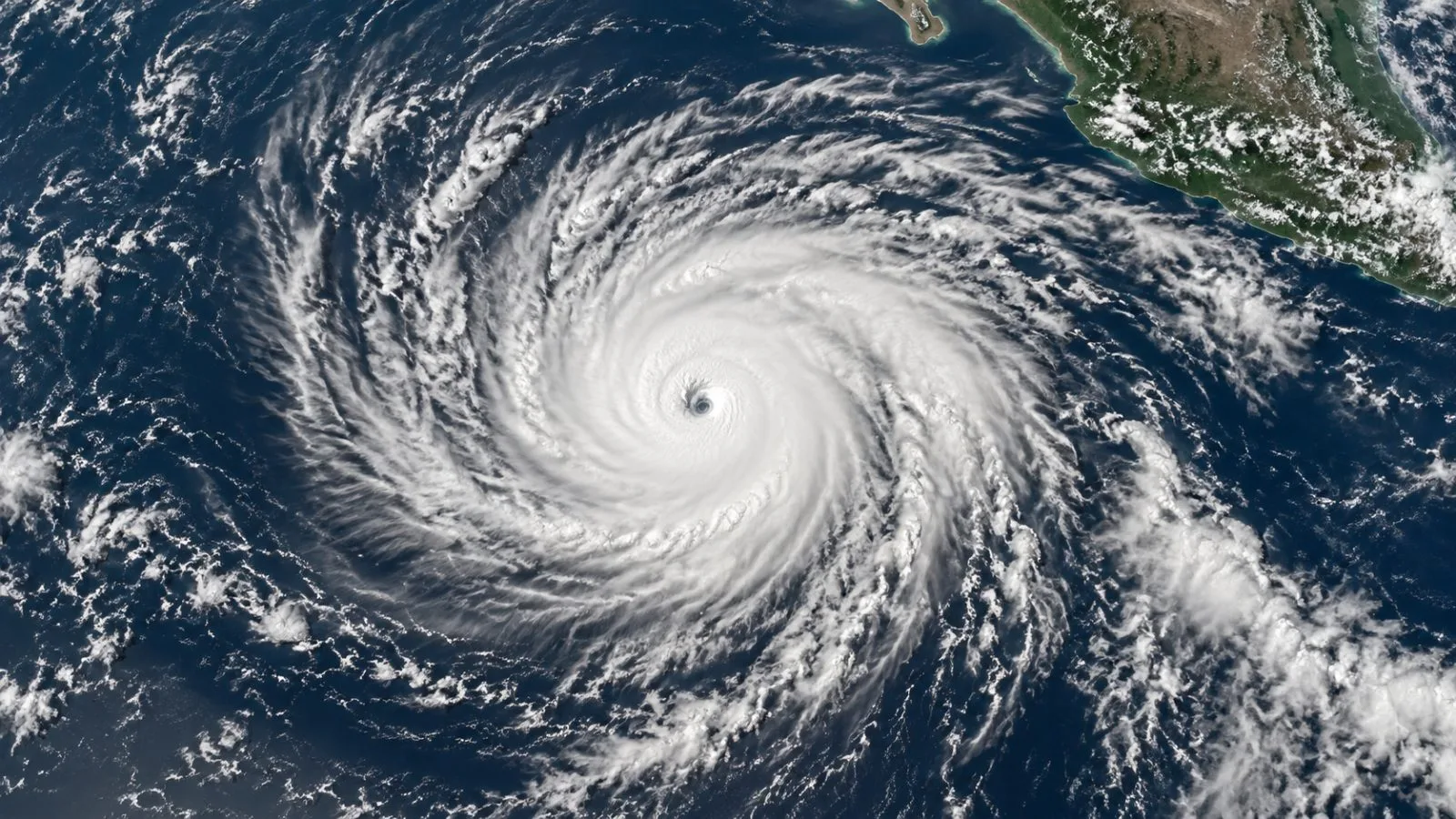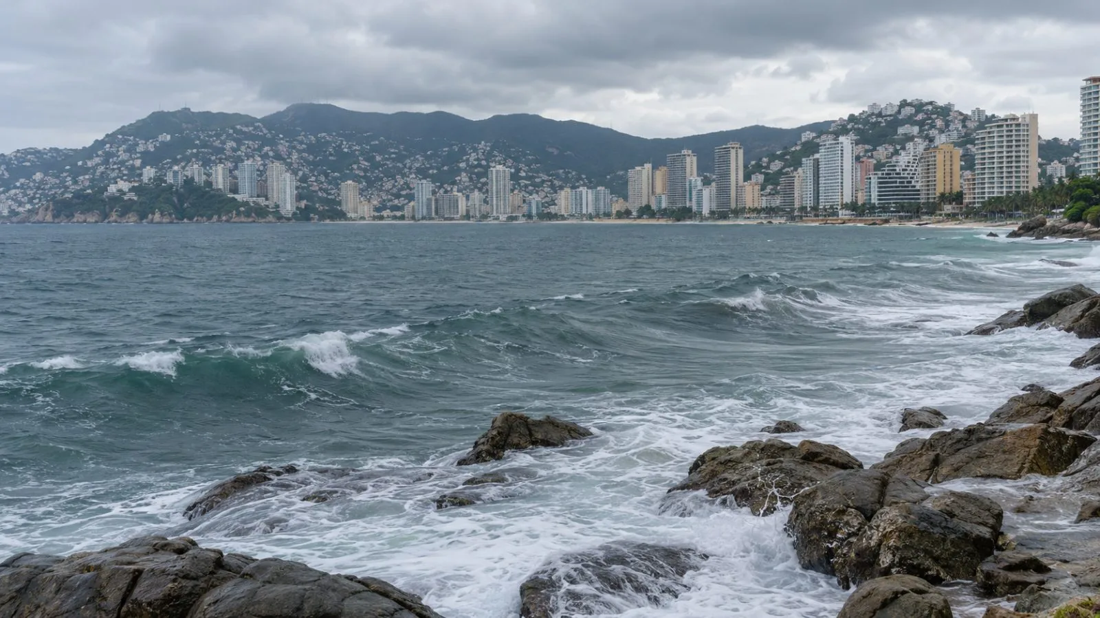
Hurricane Vance’s winds fell to 105 mph Saturday, but its slow movement kept flood, mudslide and dangerous-surf risks active along parts of Mexico’s Pacific coast, the National Hurricane Center (NHC) said.
At 11 a.m. ET (15:00 UTC), the storm’s center was about 345 miles (555 kilometers) southwest of Acapulco and 430 miles (690 kilometers) south-southeast of Manzanillo. It was heading north-northwest at 6 mph (9 kph), with minimum central pressure at 970 millibars.
The NHC’s Friday advisory listed maximum sustained winds at 110 mph before the Saturday update lowered the estimate. See EconoTimes’ earlier coverage of Vance’s 110 mph winds.
Rainfall projections through Thursday call for 3 to 6 inches in Colima and western areas of Michoacán and Jalisco; localized totals could approach 10 inches. The NHC warned that rain could cause life-threatening flooding and mudslides, particularly on steep terrain. Ocean swells linked to Vance could create life-threatening surf and rip currents along parts of Mexico’s southern and southwestern coast this weekend and into next week.
No coastal watches or warnings were active at the time of the bulletin. The NHC said it may issue a Tropical Storm Watch for parts of Mexico’s southwestern coast later Saturday or overnight. The agency expects Vance to lose strength through Sunday, though it could regain some strength Sunday night or Monday. The next complete advisory was scheduled for 5 p.m. ET (21:00 UTC) Saturday.