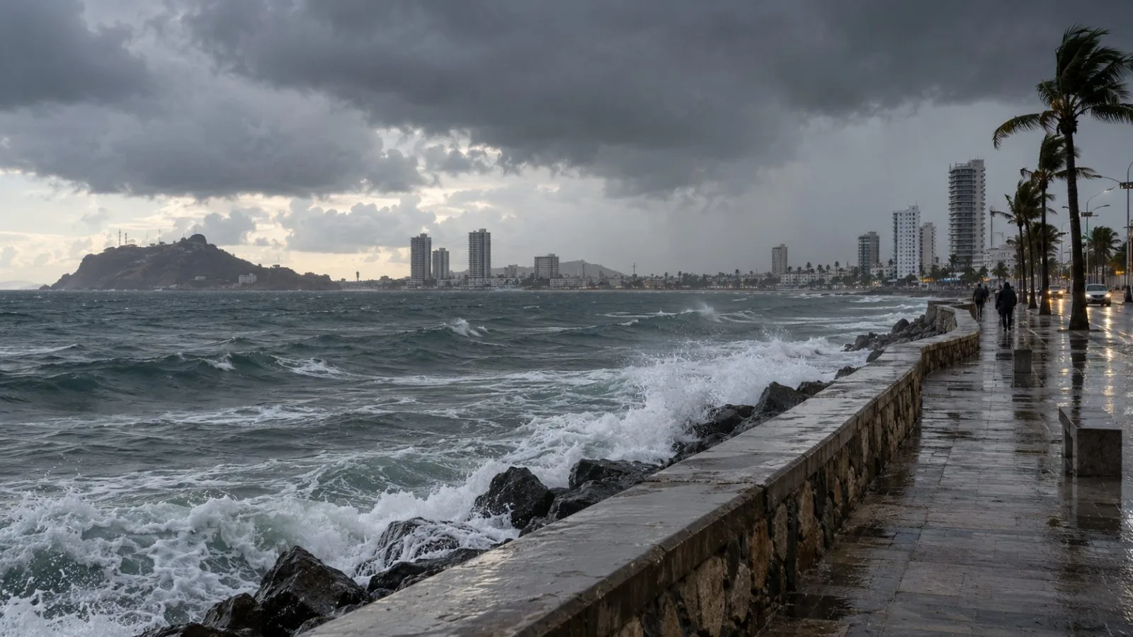
The center expects Tropical Storm Vance to weaken before reaching Mexico, while heavy rain over the next day or two could cause flooding and mudslides in parts of western Mexico.
In a discussion released at 5 a.m. ET Thursday (09:00 UTC), the NHC set Vance’s maximum sustained winds at 35 knots (40 mph). Scatterometer data put winds near 40 knots in thunderstorms northeast of Vance, more than 120 nautical miles from its center and near the Islas Marias. The center said those distant winds might have come from downdrafts, perhaps strengthened by terrain, and may not show the storm’s overall intensity.
The NHC expects wind shear to break down Vance’s remaining thunderstorms later Thursday. Its forecast lowers the storm’s winds to 30 knots by 2 p.m. ET (18:00 UTC), then to 25 knots by 2 a.m. ET Friday, Oct. 30 (06:00 UTC), when Vance is forecast to be a post-tropical remnant low. The center’s outlook lists the system as dissipated by 2 p.m. ET Friday (18:00 UTC).
The discussion says lighter steering currents could keep Vance off Mexico’s coast before it likely becomes a trough later Friday. The NHC flags central and southern Sinaloa, the far southwest of Durango and the far northwest of Nayarit for possible flooding and mudslides, with steep slopes especially exposed.
The latest outlook moves the expected remnant-low stage later than the Thursday-morning timing in EconoTimes’ earlier forecast for Vance.