The U.S. National Hurricane Center (NHC) shifted Vance’s forecast track farther west, but said rain could still cause flooding and mudslides in western Mexico.
At 5 a.m. EDT (09:00 UTC), the NHC placed Vance’s center 260 miles (420 kilometers) south-southwest of Manzanillo. The storm was moving northwest at six mph (nine km/h), with maximum sustained winds of 65 mph (100 km/h). Its bulletin listed no active coastal watch or warning and urged people with interests along Mexico’s southwestern coast to keep monitoring conditions.
Through Thursday, Oct. 29, the NHC forecast two to four inches of rain across Sinaloa and western portions of Nayarit, Jalisco and Durango, with isolated totals reaching seven inches. Coastal areas from Michoacán to Colima could receive one to three inches. The rainfall could bring flooding and mudslides, particularly on steep terrain; these are forecast amounts, not measurements of rain that has already fallen.
Earlier NHC advisories recorded Vance at 90 mph. The center still classified Vance as a hurricane Sunday morning, then as a tropical storm that afternoon. EconoTimes previously covered the agency’s warning about flood and surf risks along Mexico’s Pacific coast.
The NHC expects Vance to move toward Mexico’s mainland later this week. It cited a trough near Baja as a factor in an eventual northward turn, while a ridge is steering the storm’s earlier movement; further westward revisions remain possible. Strong westerly wind shear and dry air in the middle levels of the atmosphere are expected to weaken the storm, the agency said.
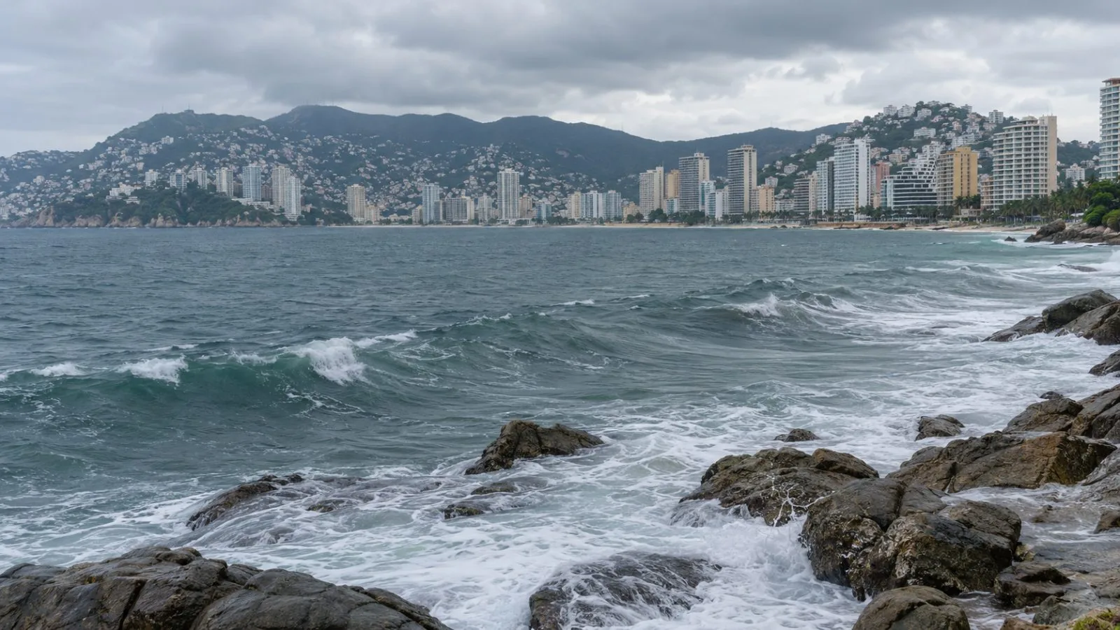
Swells from Vance are forecast to reach parts of Mexico’s southern and southwestern coast over the next several days. The NHC warned they could create life-threatening wave conditions and dangerous rip currents. The agency scheduled its next complete advisory for 11 a.m. EDT (15:00 UTC) Monday.