NASA satellite observations traced nighttime lights dimming and returning across Florida’s Panhandle after Hurricane Isaias, offering a regional view of recovery as utility reports showed some customers could still be without service.
NASA used August 2026 imagery as a baseline for comparison with its Oct. 11 observations. NASA’s Oct. 11 images showed nighttime dimming in sections near Pensacola and along the route toward Destin. Some lights had returned by Oct. 12, and NASA’s Oct. 14 comparison showed the broader pattern near its pre-storm level.
The National Hurricane Center said Isaias made landfall near Destin at 9:30 p.m. ET Oct. 9 (0130 UTC Oct. 10), with maximum sustained winds of 105 mph. PowerOutage.us recorded a peak of 913,913 customers without power across 12 states at 7 a.m. ET (11:00 UTC) Oct. 10.
Florida Power & Light Company (FPL) said Oct. 13 that it had restored service to more than 95% of customers affected by the storm. The utility said some customers in the hardest-hit areas could still be without power because of damage, difficult access or unsafe conditions at their homes or businesses. It also credited its smart-grid technology with avoiding more than 141,000 outages.
NASA identified the images’ instrument as the Visible Infrared Imaging Radiometer Suite aboard NOAA-20. The agency describes Black Marble HD images as modeled estimates scaled to 30 meters and intended for visualization, so they cannot establish customer outage counts or explain why lights remained in particular locations.
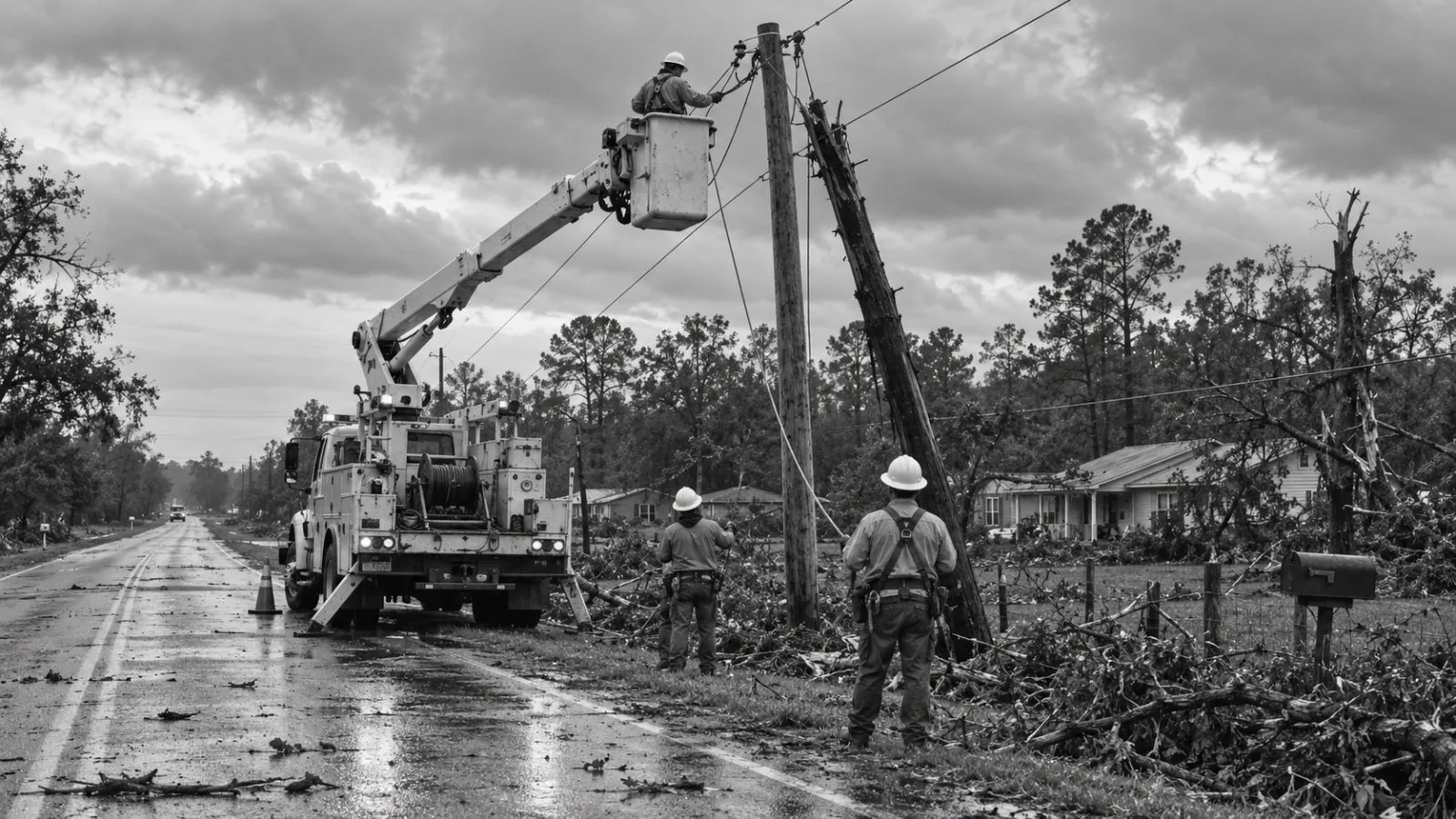
NASA linked the outages to storm damage that brought down trees and electrical lines; FPL said saturated ground and debris also complicated repairs.