Bhutan’s National Centre for Hydrology and Meteorology tracked the Mo Chhu after a glacial lake outburst flooded facilities at Gasa Tshachu, while Indian authorities issued advisories about possible downstream rises, NDTV Profit reported.
In a notice reproduced by The Bhutanese on Oct. 29, the National Centre for Hydrology and Meteorology (NCHM) reported an outburst from Sintaphu Lake in Gasa district’s Mo Chhu basin. The agency said it was monitoring river levels at Tashithang and had informed India.
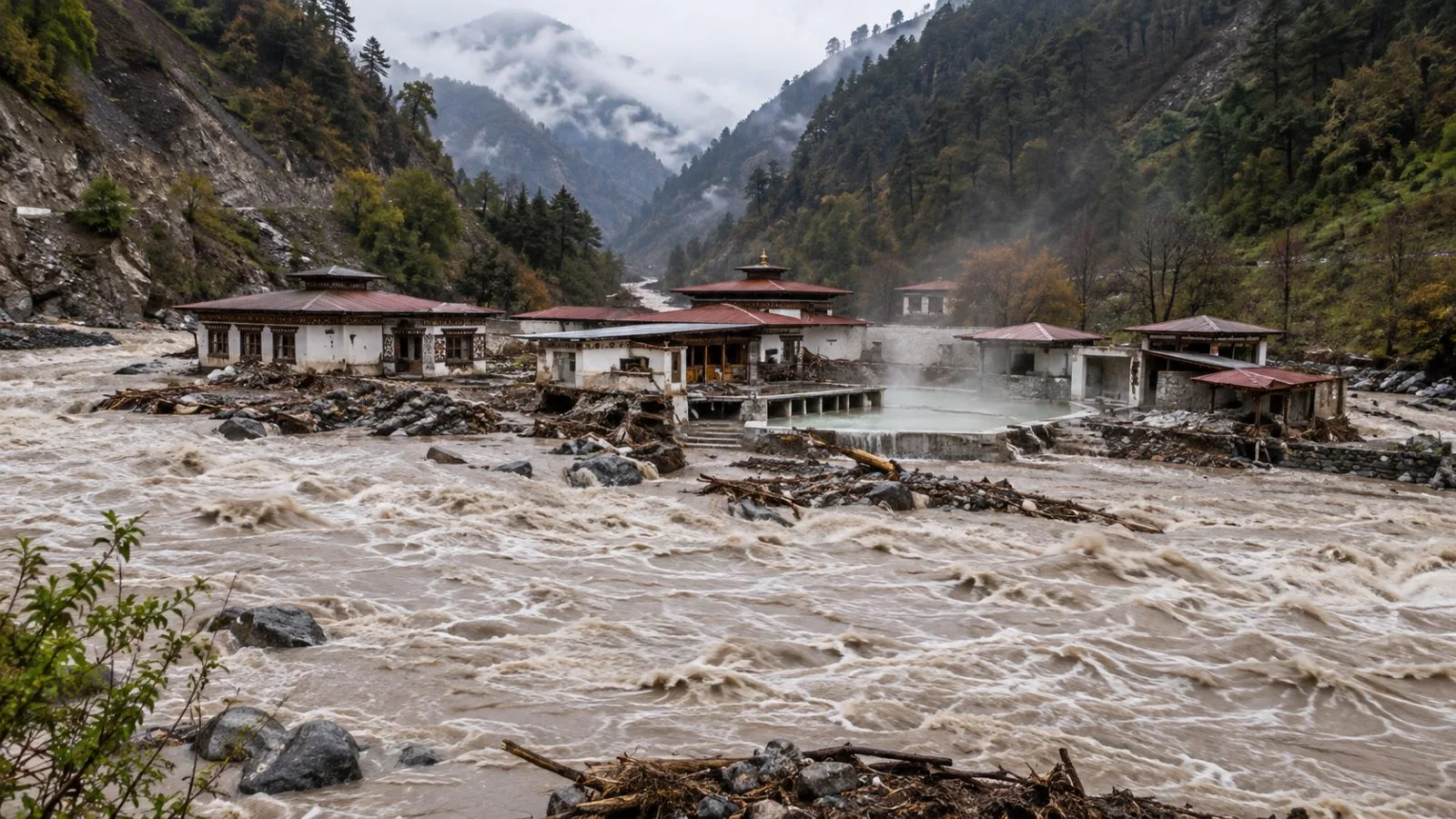
The Straits Times reported damage to facilities at Gasa Tshachu, citing Bhutan Broadcasting Service (BBS). It cited newspaper Kuensel for the report that the hot-spring area was evacuated before floodwaters arrived. BBS said no injuries or deaths had been reported.
BBS said two Bailey bridges may have been washed away. The broadcaster said darkness and the current’s force limited its damage assessment, according to The Straits Times. The same newspaper cited Kuensel for a report that part of the road to Laya was impassable and closed indefinitely.
NDTV Profit reported that floodwaters crossed Taktsemakhang station at 10:27 a.m. EDT (14:27 UTC; 8:27 p.m. Bhutan time) on Oct. 29, then later crossed Srigang in Kabesa Gewog, about 8 kilometers from Punakha Dzong. NDTV Profit said a special advisory warned upper Punatsangchhu flooding could raise levels in West Bengal’s Alipurduar and Assam’s Dhubri districts; it separately reported a West Bengal alert for areas along the Sankosh River. The advisory forecast water could reach the India-Bhutan border in six to eight hours; NDTV Profit said downstream effects and updated river readings had not been confirmed.
At Punakha, the Mo Chhu and Pho Chhu meet to form the Punatsangchhu, which reaches the Brahmaputra through India’s West Bengal plain, according to the NCHM’s flood-warning procedure. Bhutan established its warning network in the Pho Chhu sub-basin in 2011 and expanded it to the Mo Chhu in 2013. The procedure describes 10 remote water-level stations and 18 sirens, and records a deadly outburst in the Pho Chhu basin in 1994.