

 Menu
Menu

 Search

- News

- Economy

- Central Banks
- Investing
- Research
- Roundups
- Digital Currency
- Insights
- Technical Analysis
- Technology
- Business
- Law
- Health
- Nature
- Fintech
- Science
- Topic
- Opinions
- ©Econometrics LLC . All Rights Reserved.

Neil Sims
Senior Research Scientist, CSIRO
My PhD used Landsat time series data to map the Lower Balonne Floodplain in SE Qld. I linked the distribution of inundation with the growth dynamics of vegetation communities, and predicted outcomes from changes in landscape composition on the dynamics of the ecosystem as a whole. My work at CSIRO has focussed on the use of airborne, hi-res, hyperspectral and SAR satellite imagery to map features including the distribution and severity of diseases in plantation forests, forest fertiliser requirements and flood modelling for the MDBA. Recently I led a project to write methods for UN Sustainable Development Goal 15.3.1 (the proportion of land that is degraded over total land area) on behalf of the UNCCD. These methods are provided as guidance to all countries reporting on this SDG. I co-Chair the GEO Land Degradation Neutrality Initiative, which uses the methods from SDG 15.3.1 to measure degradation. More recently my work has focused on identifying and supporting the Earth observation needs of developing countries including Vietnam and the Pacific islands.

India to Continue U.S. Trade Talks After Trump Imposes 10% Import Tariff

Canada Opens Gordie Howe Bridge Without U.S. Officials as Trump Tariff Tensions Persist

Trump Says No Decision on Major Iran Strikes as U.S.-Tehran Talks Intensify

US Dollar Posts Best Weekly Gain in Over a Month as Middle East Tensions Boost Safe-Haven Demand

Kyiv Hit by Russian Missile Attack as Fires Erupt Across Multiple Districts

Iran Condemns Ukrainian Attack on Commercial Ship as Zelenskiy Alleges Russia Aids Tehran

Trump Election Order Blocked Again as Appeals Court Rejects Mail-In Voting Push in 23 States

Troy Jackson Wins Maine Democratic Senate Nomination, Sets Up High-Stakes Race Against Susan Collins

Trump Halts New Iran Strikes as Diplomacy Advances, IRGC Warns UK and Gulf States

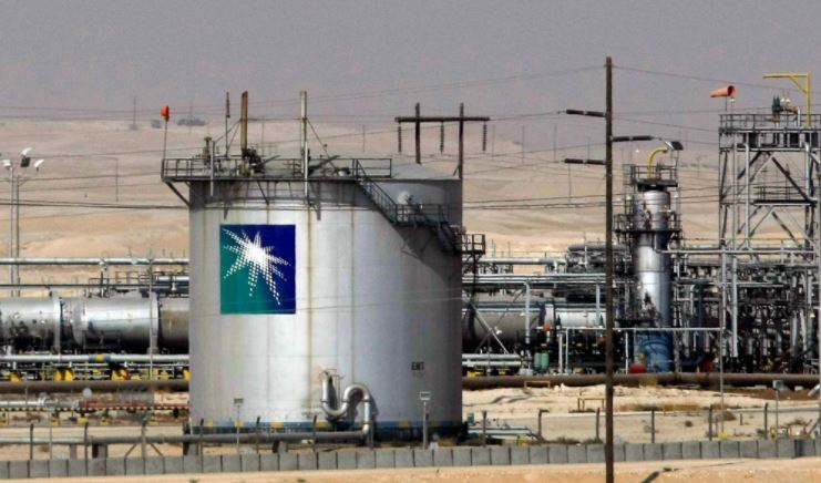
Blue Origin New Glenn Explosion Could Delay Launch Operations Until 2028
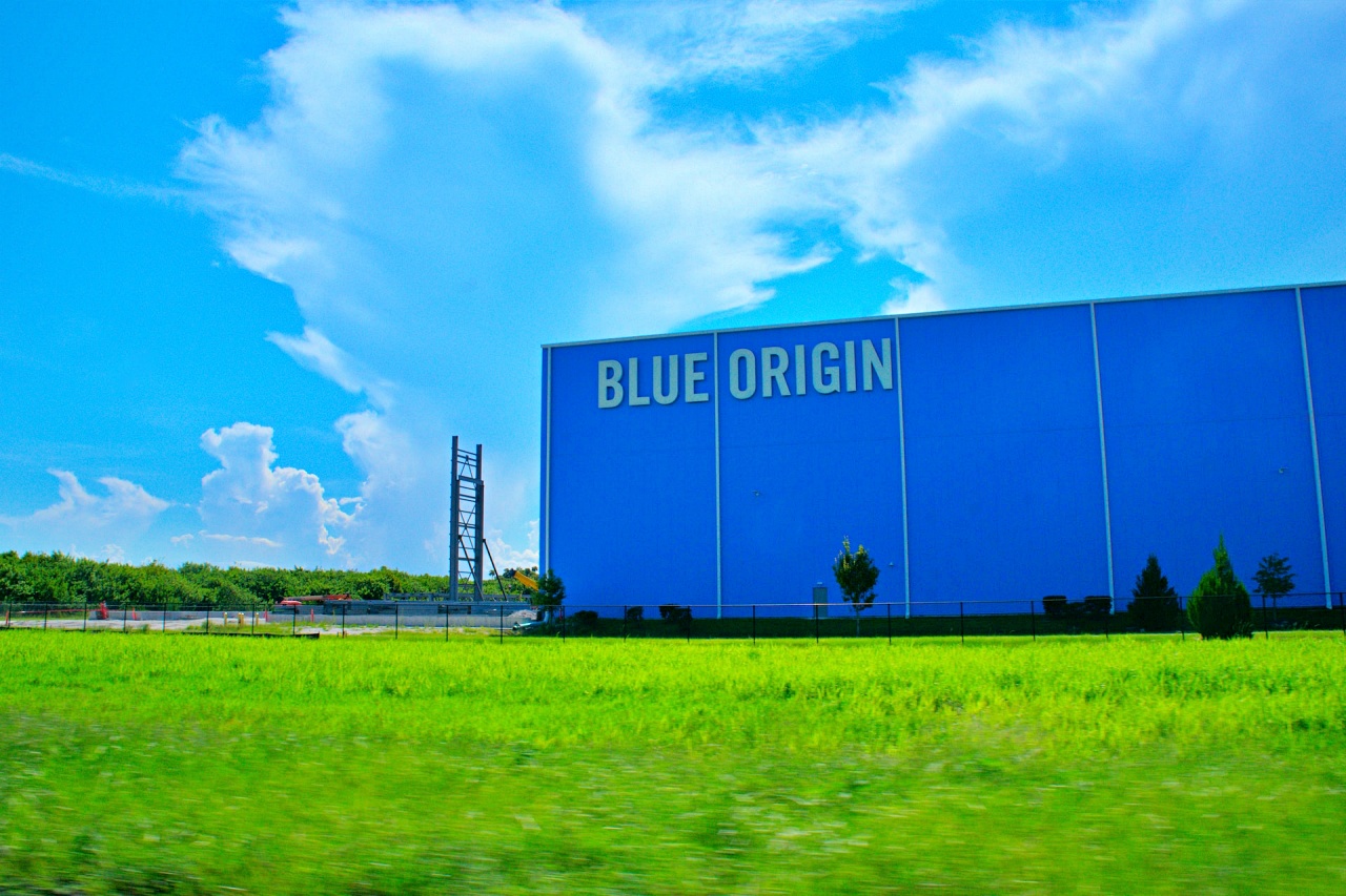
Blue Origin New Glenn Rocket Explodes During Launch Pad Test, Delaying Space Ambitions

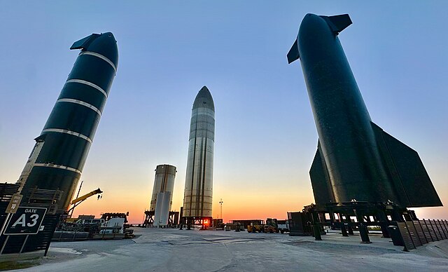
SpaceX Delays Starship V3 Launch Ahead of Potential Record IPO

Trump Administration Releases New UFO Files and Apollo Mission Records

China vs. NASA: The New Moon Race and What's at Stake by 2030

SpaceX Stock Slump Wipes Out Nearly $700 Billion From Elon Musk’s Paper Wealth
Trump Orders Section 301 Probe Into EU Tech Fines, Signals New Tariffs

Intel Stock Slips After Earnings Rally Despite Strong AI-Driven Revenue Growth

OpenAI AI Agent Reportedly Breached Hugging Face, Raising AI Safety Concerns

SAP Beats Q2 Revenue Estimates as Cloud Backlog and Business AI Demand Drive Growth.


- Market Data


